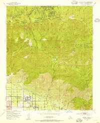
1953 Map of Harrison Mtn.
USGS Topo · Published 1955About this map
Patton State Hospital anchors the valley floor in this mid-century survey, a period when the institutional grounds and surrounding citrus groves of Patton and Highland were the primary focus of development south of the mountains. The landscape transitions sharply from the suburban street grids of West Highlands to the steep slopes of the San Bernardino National Forest. Ascending the Rim of the World Drive, the map reveals established mountain resort communities like Lake Arrowhead, Skyforest, and Twin Peaks. This era shows the intricate network of fire roads and trails, such as the McKinley Truck Trail, necessary for managing the forested heights. The San Manuel Indian Reservation occupies a significant portion of the foothills, while the Atchison Topeka and Santa Fe Railway runs along the southern edge, illustrating the vital rail connection that supported the region's agricultural and logistical growth.
Find a feature on this map
56 named features on this map. Tap any name to fly to it.
Don’t see what you’re looking for? This feature index may not catch every label — zoom into the map to look around manually.
Map Details
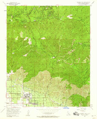
Editions of this 1953 Harrison Mtn. Map
2 editions found
Other maps of this area

1896 · San Bernardino
USGS Topo · 1:62,500

1898 · San Bernardino
USGS Topo · 1:62,500

1899 · Redlands
USGS Topo · 1:62,500

1901 · Southern California Sheet No. 1
USGS Topo · 1:250,000

1901 · San Bernardino
USGS Topo · 1:62,500

1901 · Redlands
USGS Topo · 1:62,500

1902 · Deep Creek
USGS Topo · 1:62,500

1902 · Hesperia
USGS Topo · 1:62,500

1904 · Southern California Sheet No. 1
USGS Topo · 1:250,000

1936 · Arrowhead
USGS Topo · 1:31,680