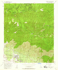
1953 Map of Harrison Mtn.
USGS Topo · Published 1960About this map
Patton State Hospital anchors the lower slopes of the San Bernardino Mountains in this mid-century survey, surrounded by the growing communities of Highland and Molino. The map reveals a striking transition from the valley floor to the high timber of the San Bernardino National Forest, where the famous Rim of the World Drive snakes through mountain settlements like Rimforest, Skyforest, and Twin Peaks.
Find a feature on this map
59 named features on this map. Tap any name to fly to it.
Don’t see what you’re looking for? This feature index may not catch every label — zoom into the map to look around manually.
Map Details
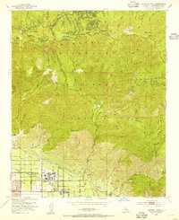
Editions of this 1953 Harrison Mtn. Map
2 editions found
Other maps of this area

1896 · San Bernardino
USGS Topo · 1:62,500

1898 · San Bernardino
USGS Topo · 1:62,500

1899 · Redlands
USGS Topo · 1:62,500

1901 · Southern California Sheet No. 1
USGS Topo · 1:250,000

1901 · San Bernardino
USGS Topo · 1:62,500

1901 · Redlands
USGS Topo · 1:62,500

1902 · Deep Creek
USGS Topo · 1:62,500

1902 · Hesperia
USGS Topo · 1:62,500

1904 · Southern California Sheet No. 1
USGS Topo · 1:250,000

1936 · Arrowhead
USGS Topo · 1:31,680