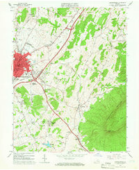
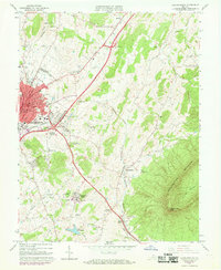
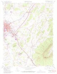
1964 Map of Harrisonburg
USGS Topo · Published 1966About this map
The city of Harrisonburg serves as the focal point of this mid-1960s survey, showing its expansion into Rockingham County. The urban core is detailed with civic and educational landmarks, including the campus of Madison College, the Lucy F Simms Sch, and the Muni Bldg. Transportation networks define the area's development, with the recently established path of Interstate 81 running parallel to the older U.S. 11 and the rail lines of the Southern and Chesapeake Western railroads.
Find a feature on this map
56 named features on this map. Tap any name to fly to it.
Don’t see what you’re looking for? This feature index may not catch every label — zoom into the map to look around manually.
Map Details
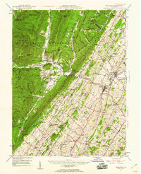
Editions of this 1964 Harrisonburg Map
5 editions found
Other maps of this area

1892 · Woodstock
USGS Topo · 1:125,000

1892 · Harrisonburg
USGS Topo · 1:125,000

1937 · Elkton
USGS Topo · 1:62,500

1941 · Harrisonburg
USGS Topo · 1:62,500

1942 · Mt Jackson
USGS Topo · 1:62,500

1943 · Harrisonburg
USGS Topo · 1:62,500

1946 · Mt Jackson
USGS Topo · 1:62,500

1947 · Mt Jackson
USGS Topo · 1:62,500
1947 · Broadway
USGS Topo · 1:62,500

1949 · Charlottesville
USGS Topo · 1:250,000