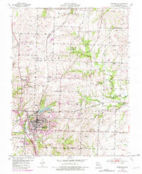
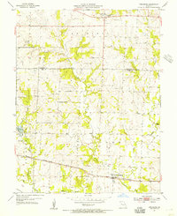
1954 Map of Harrisonville
USGS Topo · Published 1982About this map
Harrisonville serves as the focal point of this mid-century survey, situated at the crossroads of the Missouri Pacific and Burlington Northern railroads. The town landscape is defined by the proximity of Harrisonville City Lake and Lake Luna, with the nearby Drive-in Theater and Pleasant View Rest Home reflecting the social character of the 1950s. Surrounding the municipal center, the countryside is a network of small rural institutions including Walnut Grove Sch and Little Flock Ch.
Find a feature on this map
41 named features on this map. Tap any name to fly to it.
Don’t see what you’re looking for? This feature index may not catch every label — zoom into the map to look around manually.
Map Details
Editions of this 1954 Harrisonville Map
2 editions found
Other maps of this area

1887 · Harrisonville
USGS Topo · 1:125,000

1892 · Harrisonville
USGS Topo · 1:125,000

1894 · Harrisonville
USGS Topo · 1:125,000

1947 · Lawrence
USGS Topo · 1:250,000

1950 · Lawrence
USGS Topo · 1:250,000
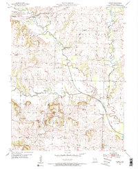
1953 · Everett
USGS Topo · 1:24,000

1954 · Harrisonville
USGS Topo · 1:24,000
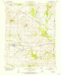
1954 · East Lynne
USGS Topo · 1:24,000
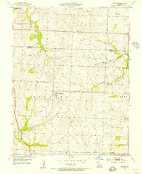
1954 · Raymore
USGS Topo · 1:24,000
1954 · Strasburg
USGS Topo · 1:24,000