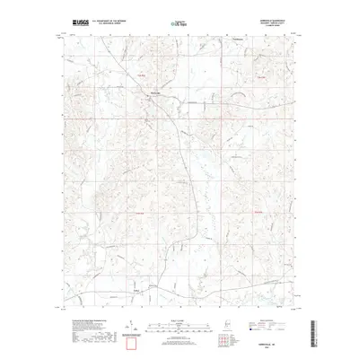
2020 Map of Harrisville
USGS Topo · Published 2020About this map
Harrisville serves as the central hub of this Simpson County landscape, where local life is anchored by several established burial grounds and a network of named watercourses. The presence of Harrisville Cem, Mount Olive Cem, Bethlehem Cem, and New Zion Cem offers significant data points for genealogists tracing family roots through these rural communities. The terrain is defined by its creek systems, with Limestone Cr and Little Limestone Cr to the west, while Big Cr and Harper Cr drain the central and eastern portions toward the Strong River in the southeast.
Find a feature on this map
69 named features on this map. Tap any name to fly to it.
Don’t see what you’re looking for? This feature index may not catch every label — zoom into the map to look around manually.
Map Details
Editions of this 2020 Harrisville Map
This is the sole edition of this map. No revisions or reprints were ever made.
Other maps of this area

1903 · Jackson
USGS Topo · 1:125,000

1906 · Florence
USGS Topo · 1:62,500

1908 · Florence
USGS Topo · 1:62,500

1953 · Hattiesburg
USGS Topo · 1:250,000

1953 · Meridian
USGS Topo · 1:250,000

1953 · Natchez
USGS Topo · 1:250,000

1955 · Jackson
USGS Topo · 1:250,000

1956 · Natchez
USGS Topo · 1:250,000

1957 · Meridian
USGS Topo · 1:250,000

1958 · Hattiesburg
USGS Topo · 1:250,000