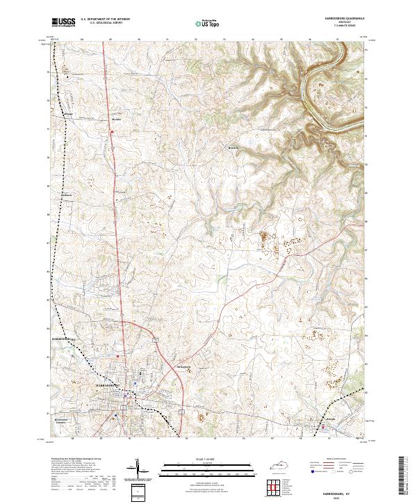
2022 Map of Harrodsburg
USGS Topo · Published 2022About this map
Harrodsburg and the surrounding Bluegrass countryside are defined by a complex network of historic pikes and water sources. Local history and genealogy are centered around sites such as Spring Hill Cem near the town center and New Providence Cem to the north. The area's hydrology is particularly notable, featuring Shawnee Run Spring, The Big Spring, and the headwaters of the Salt River. Settlement patterns follow the established roads, connecting the county seat with outlying communities like McAfee, Talmage, and Burgin. Modern civic life is anchored by the Mercer County Judicial Center and Anderson-Dean Park. The map documents a landscape where traditional agricultural holdings and family-named routes, such as Mundys Landing Rd and Bonta Ln, meet the expanding residential outskirts of the 2020s.
Find a feature on this map
115 named features on this map. Tap any name to fly to it.
Don’t see what you’re looking for? This feature index may not catch every label — zoom into the map to look around manually.
Map Details
Editions of this 2022 Harrodsburg Map
This is the sole edition of this map. No revisions or reprints were ever made.
Other maps of this area

1905 · Harrodsburg
USGS Topo · 1:125,000

1950 · Bryantsville
USGS Topo · 1:24,000

1952 · Perryville
USGS Topo · 1:24,000

1952 · Keene
USGS Topo · 1:24,000

1952 · Danville
USGS Topo · 1:24,000

1952 · Harrodsburg
USGS Topo · 1:24,000

1952 · Cornishville
USGS Topo · 1:24,000

1952 · Bryantsville
USGS Topo · 1:24,000

1952 · Salvisa
USGS Topo · 1:24,000

1952 · Mc Brayer
USGS Topo · 1:24,000