
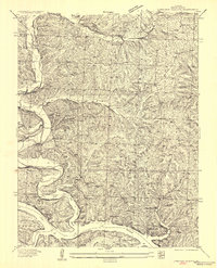
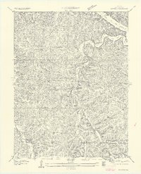
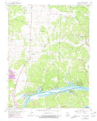
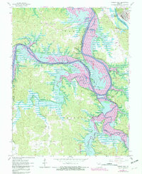
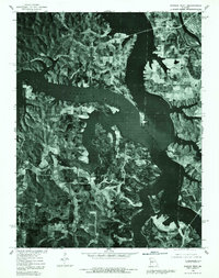
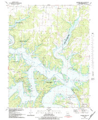
1983 Map of Harry S Truman Reservoir
USGS Topo · Published 1984This historical map portrays the area of Harry S Truman Reservoir in 1983, primarily covering Benton County as well as portions of Camden County, St. Clair County, Hickory County, Henry County, and Morgan County. Featuring a scale of 1:100000, this map provides a highly detailed snapshot of the terrain, roads, buildings, counties, and historical landmarks in the Harry S Truman Reservoir region at the time. Published in 1984, it is the sole known edition of this map.
Map Details
Editions of this 1983 Harry S Truman Reservoir Map
This is the sole edition of this map. No revisions or reprints were ever made.
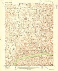
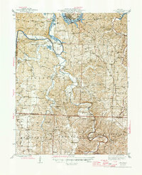
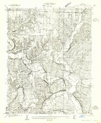
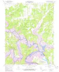
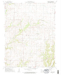
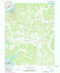
Historical Maps of Pom-o-sa Heights Through Time
25 maps found

1935 Dell
Benton County, MO

1935 Edwards
Benton County, MO
1936 Lakeview Heights
Benton County, MO
1936 Schuyler
Benton County, MO

1936 Shawnee Bend
Benton County, MO
1945 Fristoe
Benton County, MO
1955 Shawnee Bend
Benton County, MO
1957 Edwards
Benton County, MO
1957 Schuyler
Benton County, MO
1959 Edwards
Benton County, MO
1959 Lakeview Heights
Benton County, MO
1959 Lincoln SE
Benton County, MO
1959 Shawnee Bend
Benton County, MO
1961 Lincoln NW
Benton County, MO
1964 Warsaw East
Benton County, MO
1965 Warsaw West
Benton County, MO
1980 Lincoln SE
Benton County, MO
1980 Shawnee Bend
Benton County, MO
1980 Warsaw East
Benton County, MO
1980 Warsaw West
Benton County, MO
1983 Edwards
Benton County, MO
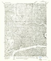
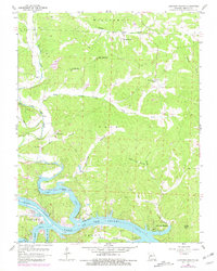
1983 Harry S Truman Reservoir
Benton County, MO
1983 Lakeview Heights
Benton County, MO
1983 Lincoln SE
Benton County, MO
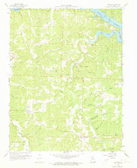
1983 Shawnee Bend
Benton County, MO