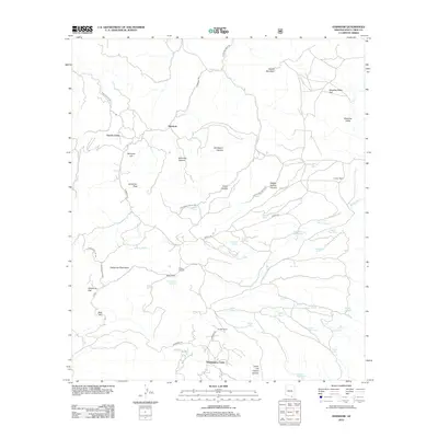
2012 Map of Harshaw
USGS Topo · Published 2012About this map
The Patagonia Mountains dominate this region of southern Arizona, where mining history and ranching legacies intersect. The settlement of Harshaw sits in the northern reaches, connected to the southern Washington Camp by Harshaw Rd. This rugged landscape is defined by its water management, featuring a dense network of ranching infrastructure such as Apache Tank, Earthen Pond, and AJ Tank to support livestock in an arid environment.
Find a feature on this map
51 named features on this map. Tap any name to fly to it.
Don’t see what you’re looking for? This feature index may not catch every label — zoom into the map to look around manually.
Map Details
Editions of this 2012 Harshaw Map
This is the sole edition of this map. No revisions or reprints were ever made.
Other maps of this area

1904 · Patagonia
USGS Topo · 1:125,000

1905 · Patagonia
USGS Topo · 1:125,000

1905 · Nogales
USGS Topo · 1:125,000

1922 · Agus Caliente
USGS Topo · 1:62,500

1932 · Lochiel
USGS Topo · 1:62,500

1932 · Elgin
USGS Topo · 1:62,500

1933 · Calabasas
USGS Topo · 1:62,500

1940 · Elgin
USGS Topo · 1:62,500

1947 · Elgin
USGS Topo · 1:62,500

1948 · Canelo Pass
USGS Topo · 1:24,000