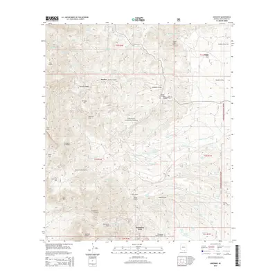
2014 Map of Harshaw
USGS Topo · Published 2014About this map
The southern Patagonia Mountains dominate this 2014 survey of the Harshaw quadrangle, revealing a landscape deeply marked by its mining heritage. Long-standing mining settlements like Washington Camp and Trench Camp anchor the topography, while features such as Worlds Fair Spring and Paymaster Spring reflect the region's historical industrial activity. Most of the land is preserved within the Coronado National Forest, where high elevations at American Peak and Hermosa Hill overlook the complex drainage systems of Mowry Wash and Alum Gulch. The map captures a sophisticated network of cattle tanks and springs, including Apache Tank and Number Three Tanks, essential for supporting rangeland in this arid environment. Traces of early 20th-century exploration remain evident in names like Washington Gulch and Duquesne Wash, providing a clear view of the settlement patterns that once defined this borderlands region of Santa Cruz County.
Find a feature on this map
73 named features on this map. Tap any name to fly to it.
Don’t see what you’re looking for? This feature index may not catch every label — zoom into the map to look around manually.
Map Details
Editions of this 2014 Harshaw Map
This is the sole edition of this map. No revisions or reprints were ever made.
Other maps of this area

1904 · Patagonia
USGS Topo · 1:125,000

1905 · Patagonia
USGS Topo · 1:125,000

1905 · Nogales
USGS Topo · 1:125,000

1922 · Agus Caliente
USGS Topo · 1:62,500

1932 · Lochiel
USGS Topo · 1:62,500

1932 · Elgin
USGS Topo · 1:62,500

1933 · Calabasas
USGS Topo · 1:62,500

1940 · Elgin
USGS Topo · 1:62,500

1947 · Elgin
USGS Topo · 1:62,500

1948 · Canelo Pass
USGS Topo · 1:24,000