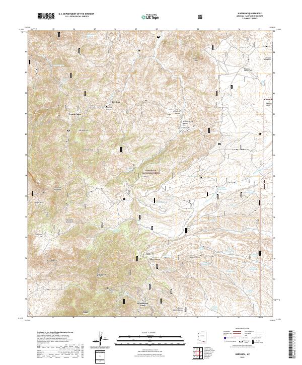
2021 Map of Harshaw
USGS Topo · Published 2021About this map
The Patagonia Mountains dominate this high-desert landscape in southern Arizona, where the legacy of mining and ranching is etched into the topography. This 2021 study shows the historic settlements of Harshaw and Trench Camp situated within the Coronado National Forest. The map documents a complex network of water sources essential for survival in this arid environment, ranging from named springs like Worlds Fair Spring and Chinaman Spring to numerous livestock tanks such as Apache Tank and Chino Seven Tank. The drainage patterns of Mowry Wash and Duquesne Wash carve through the terrain, connecting high points like American Peak and Saddle Mtn to broader lowlands like Meadow Valley Flat. This modern survey records the enduring footprint of early frontier industry, including the deep canyons and gulches like Washington Gulch that once supported local mining activity.
Find a feature on this map
58 named features on this map. Tap any name to fly to it.
Don’t see what you’re looking for? This feature index may not catch every label — zoom into the map to look around manually.
Map Details
Editions of this 2021 Harshaw Map
This is the sole edition of this map. No revisions or reprints were ever made.
Other maps of this area

1904 · Patagonia
USGS Topo · 1:125,000

1905 · Patagonia
USGS Topo · 1:125,000

1905 · Nogales
USGS Topo · 1:125,000

1922 · Agus Caliente
USGS Topo · 1:62,500

1932 · Lochiel
USGS Topo · 1:62,500

1932 · Elgin
USGS Topo · 1:62,500

1933 · Calabasas
USGS Topo · 1:62,500

1940 · Elgin
USGS Topo · 1:62,500

1947 · Elgin
USGS Topo · 1:62,500

1948 · Canelo Pass
USGS Topo · 1:24,000