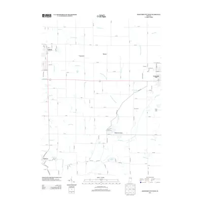
2013 Map of Hartford City West
USGS Topo · Published 2013About this map
Taylor University serves as a major landmark on the western edge of this Blackford County landscape, anchored by the nearby town of Upland. The map details a transition from the structured street grids of Hartford City to a rural expanse defined by complex water management systems, including the Townsand Lucas Ditch and Casterline Forkner Ditch. Small residential clusters and agricultural research sites like the Purdue University Memorial Farm are scattered throughout the region.
Find a feature on this map
126 named features on this map. Tap any name to fly to it.
Don’t see what you’re looking for? This feature index may not catch every label — zoom into the map to look around manually.
Map Details
Editions of this 2013 Hartford City West Map
This is the sole edition of this map. No revisions or reprints were ever made.
Other maps of this area

1953 · Muncie
USGS Topo · 1:250,000

1956 · Muncie
USGS Topo · 1:250,000

1960 · Hartford City East
USGS Topo · 1:24,000

1960 · Eaton
USGS Topo · 1:24,000

1960 · Wheeling
USGS Topo · 1:24,000

1960 · Gas City
USGS Topo · 1:24,000

1960 · Gaston
USGS Topo · 1:24,000

1960 · Hartford City West
USGS Topo · 1:24,000

1962 · Montpelier
USGS Topo · 1:24,000

1962 · Roll
USGS Topo · 1:24,000