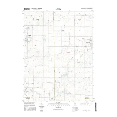
2016 Map of Hartford City West
USGS Topo · Published 2016About this map
Hartford City and Upland anchor this Indiana landscape, where the agricultural plains meet a dense network of drainage ditches and creeks. The area is defined by its educational and rural institutions, notably the Taylor Univ Graduate Sch and several scattered burial grounds like Shiloh Cem and Olive Branch Cem. The landscape is heavily modified for water management, evidenced by named channels such as Casterline Forkner Ditch, Townsend Lucas Ditch, and Fiddler Ditch which feed into natural watercourses like Big Lick Creek. To the southwest, Matthews sits along the banks of the Mississinewa River, marking a transition in the local topography. This 2016 survey also documents modern infrastructure, including the Hickory Hills Airport east of Renner.
Find a feature on this map
143 named features on this map. Tap any name to fly to it.
Don’t see what you’re looking for? This feature index may not catch every label — zoom into the map to look around manually.
Map Details
Editions of this 2016 Hartford City West Map
This is the sole edition of this map. No revisions or reprints were ever made.
Other maps of this area

1953 · Muncie
USGS Topo · 1:250,000

1956 · Muncie
USGS Topo · 1:250,000

1960 · Hartford City East
USGS Topo · 1:24,000

1960 · Eaton
USGS Topo · 1:24,000

1960 · Wheeling
USGS Topo · 1:24,000

1960 · Gas City
USGS Topo · 1:24,000

1960 · Gaston
USGS Topo · 1:24,000

1960 · Hartford City West
USGS Topo · 1:24,000

1962 · Montpelier
USGS Topo · 1:24,000

1962 · Roll
USGS Topo · 1:24,000