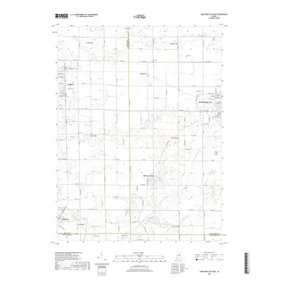
2019 Map of Hartford City West
USGS Topo · Published 2019About this map
Hartford City anchors this portion of Blackford County, where the industrial grid of the city meets the agricultural landscape of east-central Indiana. The terrain is defined by a dense network of drainage canals and creeks, such as Little Walnut Creek and Fiddler Ditch, which support the region's productive farmland. The area around Shamrock Lakes provides a contrast to the geometric section lines, showing a more complex hydrographic pattern near the southern border with Delaware County. For genealogists and local historians, several rural burial grounds are documented, including Shiloh Cemetery and the Elizabethtown Cemetery near the Mississinewa River. Smaller communities like Upland and Matthews are visible along the western edge, illustrating the historic settlement patterns that evolved around local transit and the regional river system.
Find a feature on this map
147 named features on this map. Tap any name to fly to it.
Don’t see what you’re looking for? This feature index may not catch every label — zoom into the map to look around manually.
Map Details
Editions of this 2019 Hartford City West Map
This is the sole edition of this map. No revisions or reprints were ever made.
Other maps of this area

1953 · Muncie
USGS Topo · 1:250,000

1956 · Muncie
USGS Topo · 1:250,000

1960 · Hartford City East
USGS Topo · 1:24,000

1960 · Eaton
USGS Topo · 1:24,000

1960 · Wheeling
USGS Topo · 1:24,000

1960 · Gas City
USGS Topo · 1:24,000

1960 · Gaston
USGS Topo · 1:24,000

1960 · Hartford City West
USGS Topo · 1:24,000

1962 · Montpelier
USGS Topo · 1:24,000

1962 · Roll
USGS Topo · 1:24,000