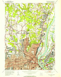
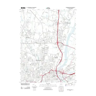
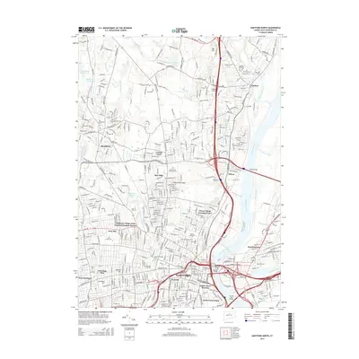
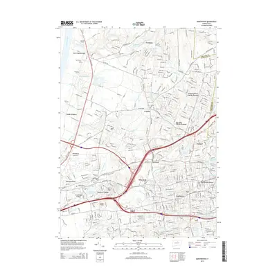
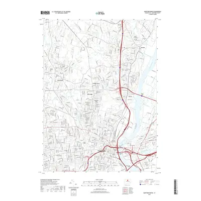
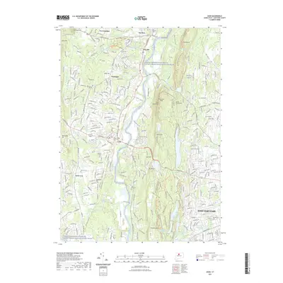
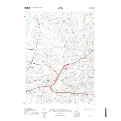
1952 Map of Hartford North
USGS Topo · Published 1954About this map
Mt St Benedict Cemetery and the sprawling campus of the St Thomas Seminary sit at the transition between the dense urban grid of northern West Hartford and the more open terrain of Bloomfield. This 1952 revision captures the region's mid-century institutional and educational landscape, featuring prominent landmarks like the Loomis Institute, Trinity College, and the State Institute For Blind. The Connecticut River serves as the central artery, crossed by the Bulkeley Bridge and the Charter Oak Bridge, linking the capital city to industrial hubs like East Hartford.
Find a feature on this map
111 named features on this map. Tap any name to fly to it.
Don’t see what you’re looking for? This feature index may not catch every label — zoom into the map to look around manually.
Map Details
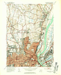
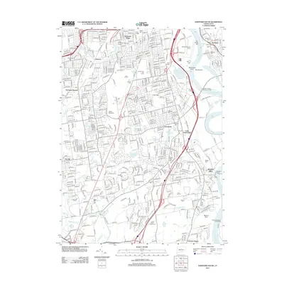
Editions of this 1952 Hartford North Map
3 editions found
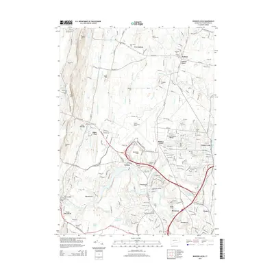
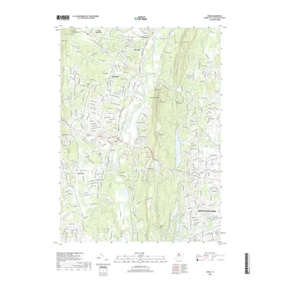
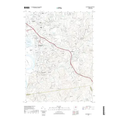
Historical Maps of Hartford Through Time
54 maps found

1892 Granby
Hartford County, CT

1906 Farmington
Hartford County, CT

1928 Glastonbury
Hartford County, CT

1928 Manchester
Hartford County, CT

1928 Mittineague
Hartford County, CT

1928 Windsor
Hartford County, CT

1928 Windsor Locks
Hartford County, CT

1944 Hartford South
Hartford County, CT

1944 Manchester
Hartford County, CT

1945 Hartford North
Hartford County, CT

1946 Glastonbury
Hartford County, CT

1946 Windsor Locks
Hartford County, CT

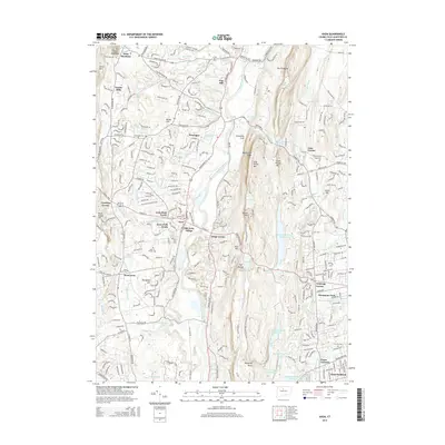
1951 Avon
Hartford County, CT

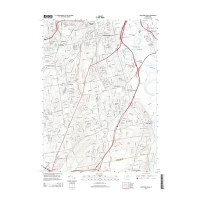
1952 Hartford North
Hartford County, CT

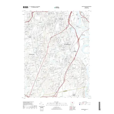
1952 Hartford South
Hartford County, CT

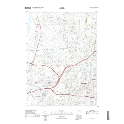
1952 Manchester
Hartford County, CT

1953 Glastonbury
Hartford County, CT

1953 Windsor Locks
Hartford County, CT

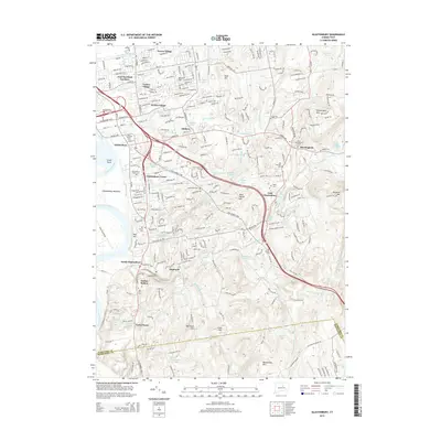
1957 Avon
Hartford County, CT

1963 Manchester
Hartford County, CT

1964 Glastonbury
Hartford County, CT

1964 Hartford North
Hartford County, CT

1964 Hartford South
Hartford County, CT

1964 Windsor Locks
Hartford County, CT
2012 Avon
Hartford County, CT
2012 Glastonbury
Hartford County, CT
2012 Hartford North
Hartford County, CT
2012 Hartford South
Hartford County, CT
2012 Manchester
Hartford County, CT
2012 Windsor Locks
Hartford County, CT
2015 Avon
Hartford County, CT
2015 Glastonbury
Hartford County, CT
2015 Hartford North
Hartford County, CT
2015 Hartford South
Hartford County, CT
2015 Manchester
Hartford County, CT
2015 Windsor Locks
Hartford County, CT
2018 Avon
Hartford County, CT
2018 Glastonbury
Hartford County, CT
2018 Hartford North
Hartford County, CT
2018 Hartford South
Hartford County, CT
2018 Manchester
Hartford County, CT
2018 Windsor Locks
Hartford County, CT
2021 Avon
Hartford County, CT
2021 Glastonbury
Hartford County, CT
2021 Hartford North
Hartford County, CT
2021 Hartford South
Hartford County, CT
2021 Manchester
Hartford County, CT
2021 Windsor Locks
Hartford County, CT

2024 Avon
Hartford County, CT

2024 Glastonbury
Hartford County, CT

2024 Hartford North
Hartford County, CT

2024 Hartford South
Hartford County, CT

2024 Manchester
Hartford County, CT

2024 Windsor Locks
Hartford County, CT