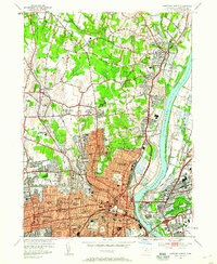
1952 Map of Hartford North
USGS Topo · Published 1959About this map
Hartford and its northern suburbs are captured in a period of significant mid-century density, centered on the Connecticut River and the bustling rail lines of the New York New Haven and Hartford. The map illustrates the concentration of educational and religious institutions that defined the capital city's social fabric, ranging from the St Thomas Seminary and La Salette Seminary to St Joseph College.
Find a feature on this map
92 named features on this map. Tap any name to fly to it.
Don’t see what you’re looking for? This feature index may not catch every label — zoom into the map to look around manually.
Map Details
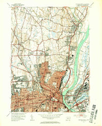
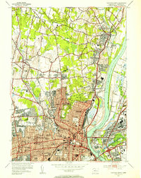
Editions of this 1952 Hartford North Map
3 editions found
Other maps of this area

1892 · Hartford
USGS Topo · 1:62,500

1892 · Meriden
USGS Topo · 1:62,500

1892 · Granby
USGS Topo · 1:62,500

1893 · Middletown
USGS Topo · 1:62,500

1893 · Meriden
USGS Topo · 1:62,500

1906 · Farmington
USGS Topo · 1:125,000

1928 · Windsor Locks
USGS Topo · 1:24,000

1928 · Windsor
USGS Topo · 1:24,000

1928 · Glastonbury
USGS Topo · 1:24,000

1928 · Broad Brook
USGS Topo · 1:24,000