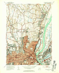
1952 Map of Hartford North
USGS Topo · Published 1954About this map
Hartford's urban core and its expanding northern suburbs are captured here at a moment of significant mid-century growth. The densely developed street grids of Hartford and East Hartford are bisected by the Connecticut River, spanned by the Bulkeley Bridge and the Charter Oak Bridge. This period shows the city's established institutional character, anchored by Trinity College and the La Salette Seminary, while the northern reaches toward Bloomfield and Windsor maintain more open terrain.
Find a feature on this map
111 named features on this map. Tap any name to fly to it.
Don’t see what you’re looking for? This feature index may not catch every label — zoom into the map to look around manually.
Map Details
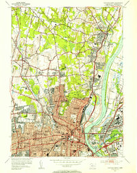
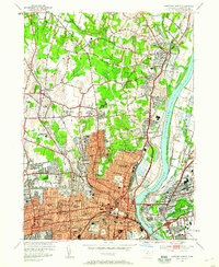
Editions of this 1952 Hartford North Map
3 editions found
Other maps of this area

1892 · Hartford
USGS Topo · 1:62,500

1892 · Meriden
USGS Topo · 1:62,500

1892 · Granby
USGS Topo · 1:62,500

1893 · Middletown
USGS Topo · 1:62,500

1893 · Meriden
USGS Topo · 1:62,500

1906 · Farmington
USGS Topo · 1:125,000

1928 · Windsor Locks
USGS Topo · 1:24,000

1928 · Windsor
USGS Topo · 1:24,000

1928 · Glastonbury
USGS Topo · 1:24,000

1928 · Broad Brook
USGS Topo · 1:24,000