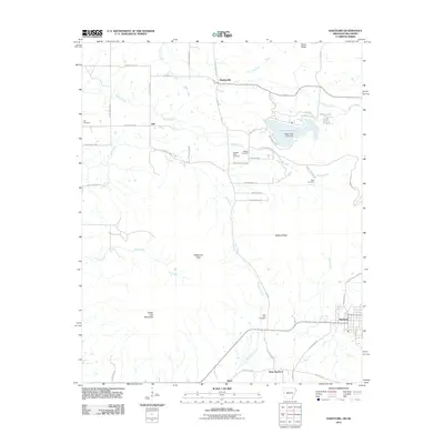
2011 Map of Hartford
USGS Topo · Published 2011About this map
Sugar Loaf Mountain and Oklahoma Peak dominate the topography of this Arkansas-Oklahoma border region, where the grid-like settlement of Hartford serves as a local hub. The landscape is defined by its numerous small burial grounds and watercourses, illustrating a history of dispersed rural communities. Water resources are anchored by Sugar Loaf Lake and the Sugar Loaf Lake Dam, with various branches and creeks like Riddle Creek and Gap Creek carving through the terrain. Evidence of older settlement patterns persists in the names of small communities such as Slattenville, Slaytonville, and Apex. This 2011 survey captures the transition between the developed residential streets of the towns and the winding county roads that navigate the surrounding ridges and peaks, providing a clear record of the area's contemporary geography while preserving its historical place names.
Find a feature on this map
59 named features on this map. Tap any name to fly to it.
Don’t see what you’re looking for? This feature index may not catch every label — zoom into the map to look around manually.
Map Details
Editions of this 2011 Hartford Map
This is the sole edition of this map. No revisions or reprints were ever made.
Other maps of this area

1887 · Poteau Mountain #2
USGS Topo · 1:62,500

1887 · Greenwood
USGS Topo · 1:62,500

1890 · Fort Smith
USGS Topo · 1:125,000

1890 · Poteau Mountain
USGS Topo · 1:125,000

1899 · Poteau Mountain
USGS Topo · 1:125,000

1900 · Sallisaw
USGS Topo · 1:125,000

1900 · Winding Stair
USGS Topo · 1:125,000

1909 · Winding Stair
USGS Topo · 1:125,000

1911 · Sallisaw
USGS Topo · 1:125,000

1943 · Fort Smith
USGS Topo · 1:125,000