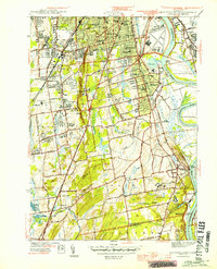
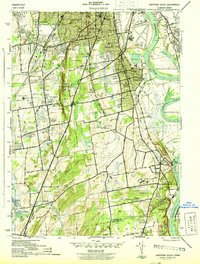
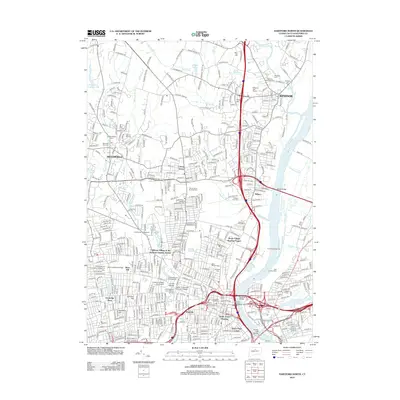
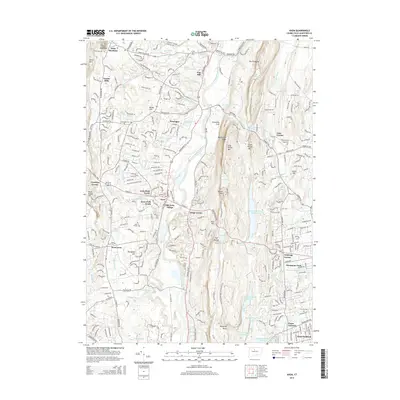
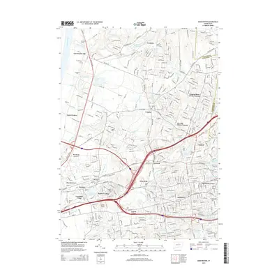
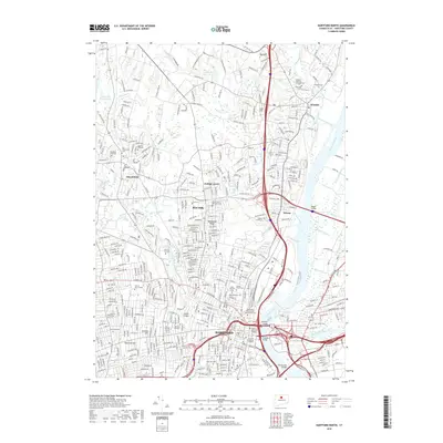
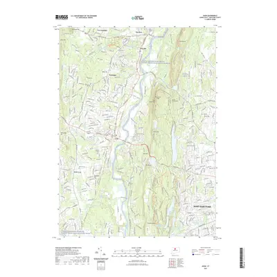
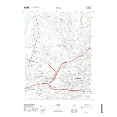
1944 Map of Hartford South
USGS Topo · Published 1944About this map
Cedar Mountain rises as a prominent ridge between the growing suburbs of Newington and the alluvial plains of the Connecticut River during this mid-1940s survey. The landscape is a complex mix of institutional grounds and residential expansion, featuring the sprawling Cedar Hill Cem, the State Prison in Wethersfield, and the State Veterans Home in Rocky Hill. The era's social infrastructure is deeply etched into the map, from the Crippled Childrens Home to historic academic sites like Trinity College and Bulkeley High Sch.
Find a feature on this map
81 named features on this map. Tap any name to fly to it.
Don’t see what you’re looking for? This feature index may not catch every label — zoom into the map to look around manually.
Map Details
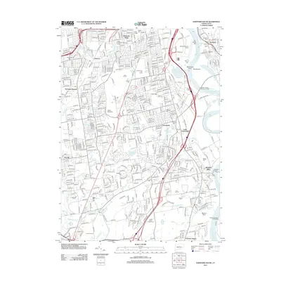
Editions of this 1944 Hartford South Map
3 editions found
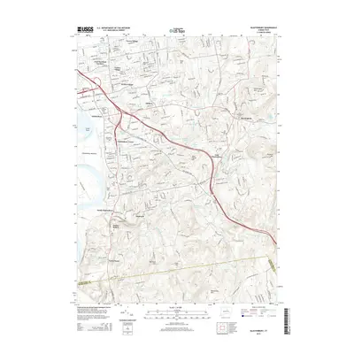
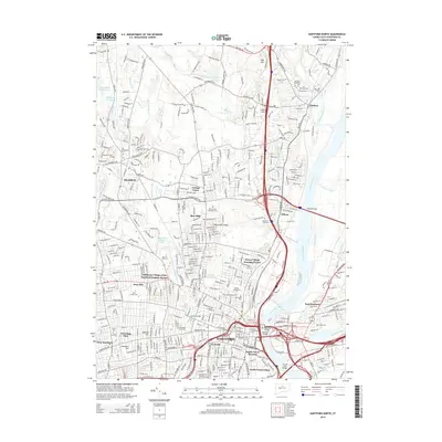
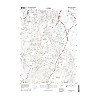
Historical Maps of Hartford Through Time
54 maps found

1892 Granby
Hartford County, CT

1906 Farmington
Hartford County, CT

1928 Glastonbury
Hartford County, CT

1928 Manchester
Hartford County, CT

1928 Mittineague
Hartford County, CT

1928 Windsor
Hartford County, CT

1928 Windsor Locks
Hartford County, CT

1944 Hartford South
Hartford County, CT

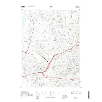
1944 Manchester
Hartford County, CT

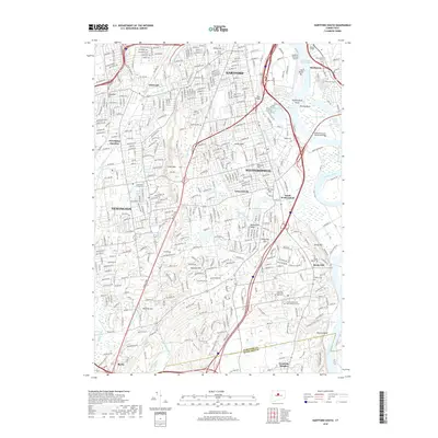
1945 Hartford North
Hartford County, CT

1946 Glastonbury
Hartford County, CT

1946 Windsor Locks
Hartford County, CT

1951 Avon
Hartford County, CT

1952 Hartford North
Hartford County, CT

1952 Hartford South
Hartford County, CT

1952 Manchester
Hartford County, CT

1953 Glastonbury
Hartford County, CT

1953 Windsor Locks
Hartford County, CT

1957 Avon
Hartford County, CT

1963 Manchester
Hartford County, CT

1964 Glastonbury
Hartford County, CT

1964 Hartford North
Hartford County, CT

1964 Hartford South
Hartford County, CT

1964 Windsor Locks
Hartford County, CT
2012 Avon
Hartford County, CT
2012 Glastonbury
Hartford County, CT
2012 Hartford North
Hartford County, CT
2012 Hartford South
Hartford County, CT
2012 Manchester
Hartford County, CT
2012 Windsor Locks
Hartford County, CT
2015 Avon
Hartford County, CT
2015 Glastonbury
Hartford County, CT
2015 Hartford North
Hartford County, CT
2015 Hartford South
Hartford County, CT
2015 Manchester
Hartford County, CT
2015 Windsor Locks
Hartford County, CT
2018 Avon
Hartford County, CT
2018 Glastonbury
Hartford County, CT
2018 Hartford North
Hartford County, CT
2018 Hartford South
Hartford County, CT
2018 Manchester
Hartford County, CT
2018 Windsor Locks
Hartford County, CT
2021 Avon
Hartford County, CT
2021 Glastonbury
Hartford County, CT
2021 Hartford North
Hartford County, CT
2021 Hartford South
Hartford County, CT
2021 Manchester
Hartford County, CT
2021 Windsor Locks
Hartford County, CT

2024 Avon
Hartford County, CT

2024 Glastonbury
Hartford County, CT

2024 Hartford North
Hartford County, CT

2024 Hartford South
Hartford County, CT

2024 Manchester
Hartford County, CT

2024 Windsor Locks
Hartford County, CT