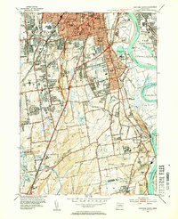
1952 Map of Hartford South
USGS Topo · Published 1954About this map
Trinity College and the southern urban landscape of Hartford dominate this early 1950s survey, revealing a period of significant institutional and infrastructure development. The map details the residential expansion into Wethersfield and Newington, tracing the early paths of the Wilbur Cross Highway and the Berlin Turnpike. Along the Connecticut River, the importance of aviation and transit is evident at Brainard Aviation Field and the Glastonbury Ferry crossing.
Find a feature on this map
102 named features on this map. Tap any name to fly to it.
Don’t see what you’re looking for? This feature index may not catch every label — zoom into the map to look around manually.
Map Details
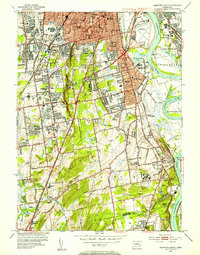
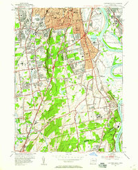
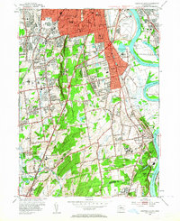
Editions of this 1952 Hartford South Map
4 editions found
Other maps of this area

1892 · Hartford
USGS Topo · 1:62,500

1892 · Meriden
USGS Topo · 1:62,500

1892 · Granby
USGS Topo · 1:62,500

1893 · Middletown
USGS Topo · 1:62,500

1893 · Meriden
USGS Topo · 1:62,500

1906 · Farmington
USGS Topo · 1:125,000

1928 · Cromwell
USGS Topo · 1:24,000

1928 · Windsor
USGS Topo · 1:24,000

1928 · Glastonbury
USGS Topo · 1:24,000

1928 · Manchester
USGS Topo · 1:24,000