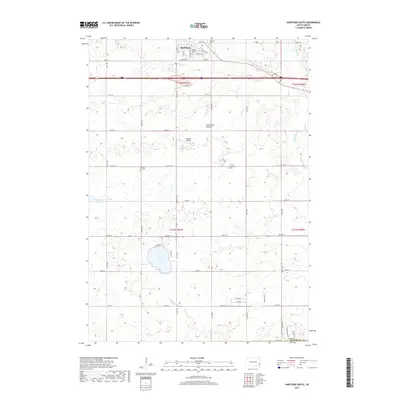
2017 Map of Hartford South
USGS Topo · Published 2017About this map
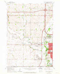
Hartford serves as a primary hub of activity in this section of Minnehaha County, where the prairie landscape is shaped by the transition of the Coteau des Prairies upland. The community’s spiritual and historical roots are visible through sites like Saint George and the Hartford Cem, while the surrounding section lines reflect a legacy of agricultural platting. To the south, Wall Lake provides a major hydrographic focal point, surrounded by residential roads such as N Shore Pl and E Shore Pl.
Find a feature on this map
39 named features on this map. Tap any name to fly to it.
Don’t see what you’re looking for? This feature index may not catch every label — zoom into the map to look around manually.
Map Details
Editions of this 2017 Hartford South Map
This is the sole edition of this map. No revisions or reprints were ever made.
Other maps of this area
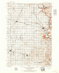
1897 · Canton
USGS Topo · 1:125,000
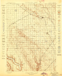
1898 · Parker
USGS Topo · 1:125,000
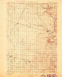
1900 · Canton
USGS Topo · 1:125,000

1955 · Sioux Falls
USGS Topo · 1:250,000

1958 · Sioux Falls
USGS Topo · 1:250,000
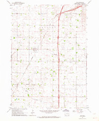
1962 · Tea
USGS Topo · 1:24,000
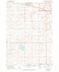
1962 · Hartford South
USGS Topo · 1:24,000
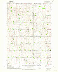
1962 · Lennox NW
USGS Topo · 1:24,000
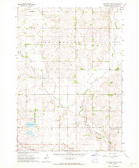
1962 · Hartford North
USGS Topo · 1:24,000
1962 · Sioux Falls West
USGS Topo · 1:24,000