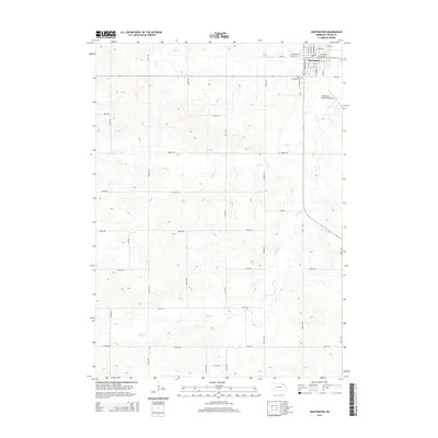
2014 Map of Hartington
USGS Topo · Published 2014About this map
Hartington serves as the primary urban center for this corner of Cedar County, situated at the junction of organized street grids and expansive agricultural reaches. The town's layout is meticulously detailed, showcasing a dense network of residential and commercial thoroughfares including N Broadway St, E Main St, and S Robinson Ave. This 2014 survey documents the community's established footprint, anchored by the Saint Michaels Cem to the south and the Hartington Municipal Airport to the east. Outside the city limits, the terrain is defined by the winding paths of Bow Cr and Pearl Cr, which meander through a landscape carved into a grid of section-line roads like 560th Ave and 877th Rd. The map illustrates a mature rural infrastructure where local aviation and traditional agriculture coexist alongside well-defined watercourses.
Find a feature on this map
37 named features on this map. Tap any name to fly to it.
Don’t see what you’re looking for? This feature index may not catch every label — zoom into the map to look around manually.
Map Details
Editions of this 2014 Hartington Map
This is the sole edition of this map. No revisions or reprints were ever made.
Other maps of this area

1955 · Sioux City
USGS Topo · 1:250,000

1958 · Sioux City
USGS Topo · 1:250,000

1959 · Sioux City
USGS Topo · 1:250,000

1968 · Coleridge
USGS Topo · 1:24,000

1968 · Hartington
USGS Topo · 1:24,000

1968 · Hartington SW
USGS Topo · 1:24,000

1968 · Crofton
USGS Topo · 1:24,000

1968 · Wynot
USGS Topo · 1:24,000

1968 · Fordyce
USGS Topo · 1:24,000

1971 · Belden
USGS Topo · 1:24,000