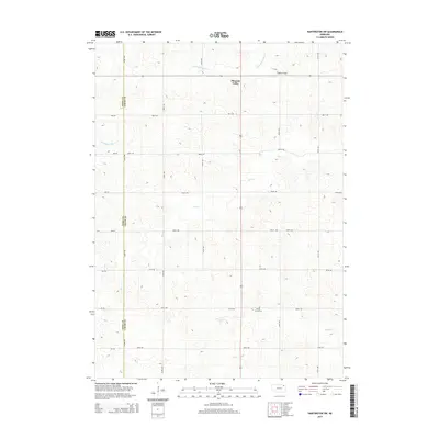
2014 Map of Hartington SW
USGS Topo · Published 2014About this map
Pleasant Valley serves as a central point in this rural landscape near the border of Knox and Cedar counties. The terrain is defined by the winding paths of Norwegian Bow Cr, Bow Cr, and Pearl Cr, which carve through the agricultural grid of northern Nebraska. Cultural landmarks such as Oliver Grove Cem and Sudbeck Field provide specific points of interest for those researching local family histories or land use patterns. A dense network of section-line roads, including 880th Rd and 554th Ave, illustrates the enduring organization of the American Great Plains, where transportation remains tied to the township and range system. This 2014 survey documents the continued reliance on these rural corridors and the persistent geography of the creeks that historically dictated settlement locations in the region.
Find a feature on this map
28 named features on this map. Tap any name to fly to it.
Don’t see what you’re looking for? This feature index may not catch every label — zoom into the map to look around manually.
Map Details
Editions of this 2014 Hartington SW Map
This is the sole edition of this map. No revisions or reprints were ever made.
Other maps of this area

1955 · Sioux City
USGS Topo · 1:250,000

1958 · Sioux City
USGS Topo · 1:250,000

1959 · Sioux City
USGS Topo · 1:250,000

1968 · Hartington
USGS Topo · 1:24,000

1968 · Bloomfield NE
USGS Topo · 1:24,000

1968 · Hartington SW
USGS Topo · 1:24,000

1968 · Bloomfield SE
USGS Topo · 1:24,000

1968 · Crofton
USGS Topo · 1:24,000

1968 · Fordyce
USGS Topo · 1:24,000

1971 · Wausa
USGS Topo · 1:24,000