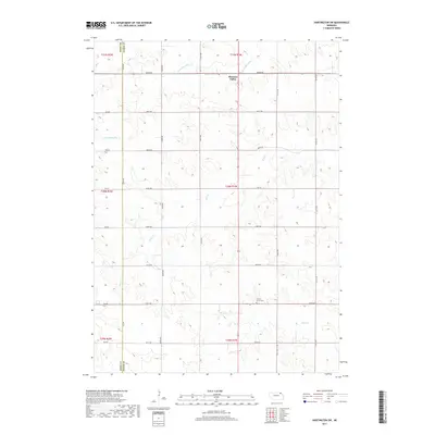
2017 Map of Hartington SW
USGS Topo · Published 2017About this map
Pleasant Valley sits at the northern edge of this Nebraska landscape, where the rolling agricultural terrain of Cedar County is defined by the branching waters of Bow Cr and Norwegian Bow Cr. The map reveals a strictly gridded section system typical of the Great Plains, with a network of rural routes like 882nd Rd and 554th Ave providing access to isolated farmsteads. Near the center of the sheet, the Oliver Grove Cem serves as a quiet landmark for local genealogists tracing family roots in this rural precinct. In the southern portion of the quadrangle, Pearl Cr winds through the fields, illustrating the subtle drainage patterns that dictated the placement of homesteads and grazing lands in this portion of the state.
Find a feature on this map
25 named features on this map. Tap any name to fly to it.
Don’t see what you’re looking for? This feature index may not catch every label — zoom into the map to look around manually.
Map Details
Editions of this 2017 Hartington SW Map
This is the sole edition of this map. No revisions or reprints were ever made.
Other maps of this area

1955 · Sioux City
USGS Topo · 1:250,000

1958 · Sioux City
USGS Topo · 1:250,000

1959 · Sioux City
USGS Topo · 1:250,000

1968 · Hartington
USGS Topo · 1:24,000

1968 · Bloomfield NE
USGS Topo · 1:24,000

1968 · Hartington SW
USGS Topo · 1:24,000

1968 · Bloomfield SE
USGS Topo · 1:24,000

1968 · Crofton
USGS Topo · 1:24,000

1968 · Fordyce
USGS Topo · 1:24,000

1971 · Wausa
USGS Topo · 1:24,000