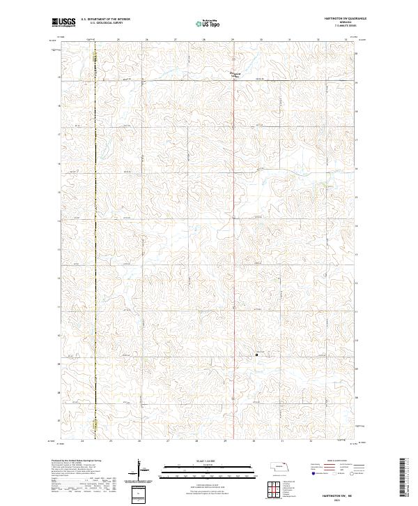
2021 Map of Hartington SW
USGS Topo · Published 2021About this map
Pleasant Valley sits at the northern edge of this section of the Nebraska landscape, where the rolling plains of Cedar Co meet the border of Knox Co. The drainage of Bow Cr and its tributaries, including Norwegian Bow Cr and Pearl Cr, dictates the layout of the local section lines and township roads. This area is characterized by its organized grid of rural routes, such as 882nd RD and 553rd Ave, which connect isolated farmsteads and agricultural plots. The inclusion of the Olive Cem provides a specific point of interest for those tracing family history in this corner of the state, serving as a quiet landmark amidst the expansive drainage basins that define the local geography.
Find a feature on this map
25 named features on this map. Tap any name to fly to it.
Don’t see what you’re looking for? This feature index may not catch every label — zoom into the map to look around manually.
Map Details
Editions of this 2021 Hartington SW Map
This is the sole edition of this map. No revisions or reprints were ever made.
Other maps of this area

1955 · Sioux City
USGS Topo · 1:250,000

1958 · Sioux City
USGS Topo · 1:250,000

1959 · Sioux City
USGS Topo · 1:250,000

1968 · Hartington
USGS Topo · 1:24,000

1968 · Bloomfield NE
USGS Topo · 1:24,000

1968 · Hartington SW
USGS Topo · 1:24,000

1968 · Bloomfield SE
USGS Topo · 1:24,000

1968 · Crofton
USGS Topo · 1:24,000

1968 · Fordyce
USGS Topo · 1:24,000

1971 · Wausa
USGS Topo · 1:24,000