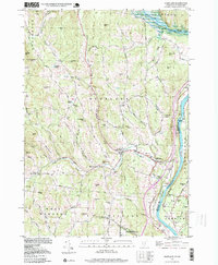
1998 Map of Hartland
USGS Topo · Published 1999About this map
The Connecticut River forms the eastern boundary of this Vermont landscape, where the confluence with the Ottauquechee River is marked by the North Hartland Reservoir. The terrain is characterized by a series of prominent peaks and family-named hills, including Blake Hill, Hartland Hill, and Cobb Hill, which dictate the winding paths of rural routes like Garvin Hill Road. The settlement pattern centers on Hartland and Hartland Four Corners, while several smaller named clusters like Quakers Village and Jenneville speak to the local history of these upland townships.
Find a feature on this map
77 named features on this map. Tap any name to fly to it.
Don’t see what you’re looking for? This feature index may not catch every label — zoom into the map to look around manually.
Map Details
Editions of this 1998 Hartland Map
This is the sole edition of this map. No revisions or reprints were ever made.
Other maps of this area
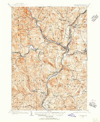
1906 · Hanover
USGS Topo · 1:62,500
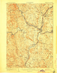
1908 · Hanover
USGS Topo · 1:62,500
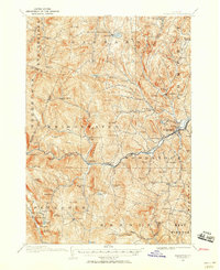
1911 · Woodstock
USGS Topo · 1:62,500
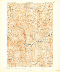
1913 · Woodstock
USGS Topo · 1:62,500
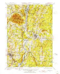
1926 · Claremont
USGS Topo · 1:62,500
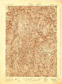
1928 · Ludlow
USGS Topo · 1:48,000
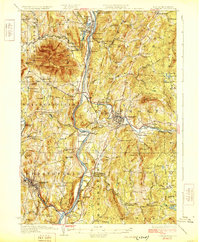
1929 · Claremont
USGS Topo · 1:62,500
1929 · Ludlow
USGS Topo · 1:62,500
1932 · Ludlow
USGS Topo · 1:62,500
1943 · Woodstock
USGS Topo · 1:62,500