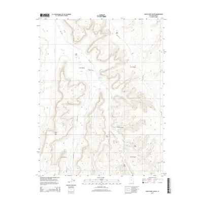
2014 Map of Harts Point South
USGS Topo · Published 2014About this map
Harts Point and Bridger Jack Mesa anchor this landscape in San Juan County, where high plateau formations are bisected by a network of drainage systems. The intricate topography is defined by major incisions like Donnelly Canyon, Titus Canyon, and Shay Canyon, which feed into the Indian Cr watershed. Human infrastructure is primarily limited to transit and water management, notably the Ut-211 highway, Bridger Jack Rd, and the isolated Dugout Reservoir. The map illustrates the transition from the high elevations of The Island down through the complex seasonal stream beds of N Cottonwood Cr and Lavender Cr. These features demonstrate the geological isolation of the region, where roads like Park Hwy and Hart Point Rd follow the natural contours of the mesas and canyon rims.
Find a feature on this map
19 named features on this map. Tap any name to fly to it.
Don’t see what you’re looking for? This feature index may not catch every label — zoom into the map to look around manually.
Map Details
Editions of this 2014 Harts Point South Map
This is the sole edition of this map. No revisions or reprints were ever made.
Other maps of this area

1885 · La Sal
USGS Topo · 1:250,000

1886 · Abajo
USGS Topo · 1:250,000

1892 · Abajo
USGS Topo · 1:250,000

1893 · Abajo
USGS Topo · 1:250,000

1935 · Elk Ridge
USGS Topo · 1:96,000

1940 · Elk Ridge
USGS Topo · 1:125,000

1954 · Elk Ridge 1 NW
USGS Topo · 1:24,000

1954 · Elk Ridge 1 NE
USGS Topo · 1:24,000

1954 · Carlisle 4 SW
USGS Topo · 1:24,000

1954 · Mt Peale 3 NW
USGS Topo · 1:24,000