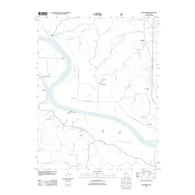
2012 Map of Hartsburg
USGS Topo · Published 2012About this map
The Missouri River carves a winding path through this portion of Boone County, anchoring a series of riverfront settlements including Hartsburg, Claysville, and Wilton. The landscape is defined by the contrast between the fertile Marion Bottoms and the prominent bluffs and islands that characterize this stretch of the waterway. Geological landmarks such as Little Manitou Rock, Bull Rock, and Sugar Loaf Rock stand as sentinels along the river corridor, while the inland areas are drained by a network of creeks including Hart Creek, Jemerson Creek, and Workman Creek.
Find a feature on this map
76 named features on this map. Tap any name to fly to it.
Don’t see what you’re looking for? This feature index may not catch every label — zoom into the map to look around manually.
Map Details
Editions of this 2012 Hartsburg Map
This is the sole edition of this map. No revisions or reprints were ever made.
Other maps of this area

1886 · Jefferson City
USGS Topo · 1:125,000

1894 · Jefferson City
USGS Topo · 1:125,000

1939 · Jefferson City
USGS Topo · 1:24,000

1939 · Jefferson City
USGS Topo · 1:62,500

1942 · Jefferson City
USGS Topo · 1:62,500

1944 · Millersburg
USGS Topo · 1:62,500

1946 · Millersburg
USGS Topo · 1:62,500

1947 · Jefferson City
USGS Topo · 1:250,000

1948 · Centertown
USGS Topo · 1:62,500

1948 · Columbia
USGS Topo · 1:62,500