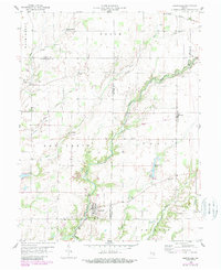
1958 Map of Hartsville
USGS Topo · Published 1993About this map
Hartsville and the surrounding townships of Clay and Clifty center this mid-century survey, revealing a landscape defined by its stream valleys and rural institutional markers. The winding path of Clifty Creek carves through the topography, flanked by several family and community burial grounds including Nauvoo Cem and Swinney Cem. Further north, Burney sits along the Old Railroad Grade, a reminder of the rail infrastructure that once linked these farming communities.
Find a feature on this map
34 named features on this map. Tap any name to fly to it.
Don’t see what you’re looking for? This feature index may not catch every label — zoom into the map to look around manually.
Map Details
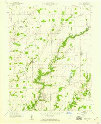
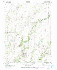
Editions of this 1958 Hartsville Map
4 editions found

Other maps of this area

1942 · Columbus
USGS Topo · 1:125,000

1947 · Hope
USGS Topo · 1:24,000

1948 · Hope
USGS Topo · 1:24,000

1948 · Lewis Creek
USGS Topo · 1:24,000

1950 · Edinburg
USGS Topo · 1:62,500

1953 · Cincinnati
USGS Topo · 1:250,000

1956 · Waldron
USGS Topo · 1:24,000

1957 · Cincinnati
USGS Topo · 1:250,000

1958 · Westport
USGS Topo · 1:24,000

1958 · Forest Hill
USGS Topo · 1:24,000