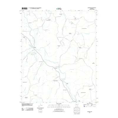
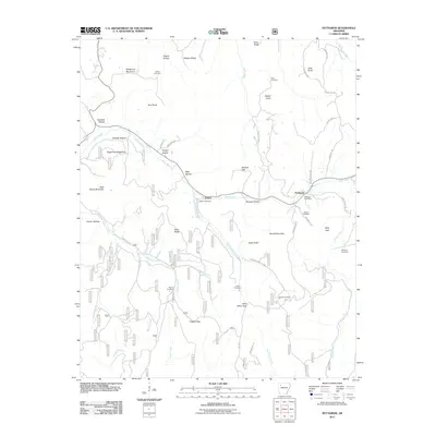
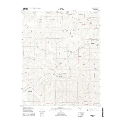
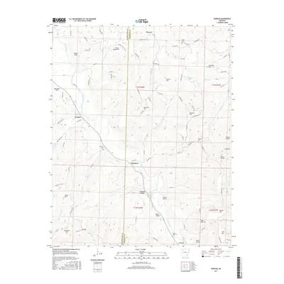
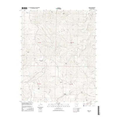
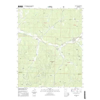
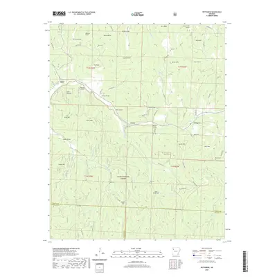
1973 Map of Hartwell
USGS Topo · Published 1976About this map
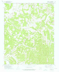
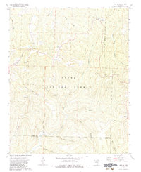
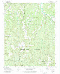
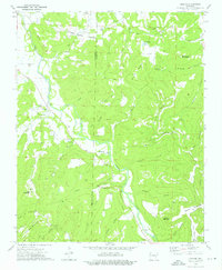
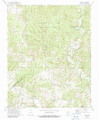
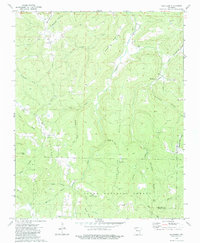
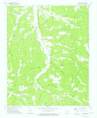
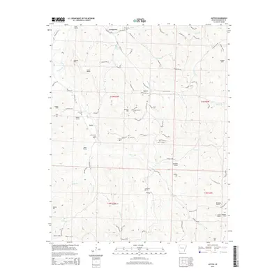
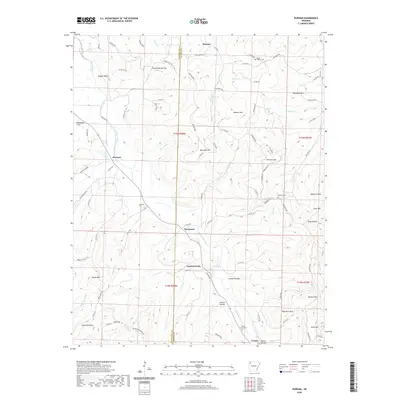
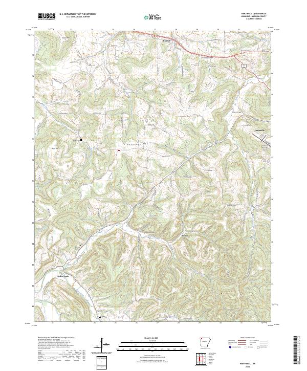
Bohannan Mountain stands as a central topographic anchor in this Madison County landscape, where deep valleys and high ridges dictate the local settlement patterns. Small communities and isolated farmsteads are connected by winding roads that follow the contours of the terrain, particularly around Hartwell and the outskirts of Huntsville. The map reveals a deeply rooted rural society centered on local institutions such as the Bohannan Mountain Ch and Oak Grove Mission, alongside family-oriented landmarks like the Farmer Cem and Worley Cem. Waterways like Drakes Creek and Holman Creek carve through the land, creating the distinct hollows that define the region's geography. This survey provides a precise look at the rural infrastructure of the early 1970s, from the Gravel Pits to the Radio Towers that mark the modernization of this Ozark upland.
Find a feature on this map
30 named features on this map. Tap any name to fly to it.
Don’t see what you’re looking for? This feature index may not catch every label — zoom into the map to look around manually.
Map Details
Editions of this 1973 Hartwell Map
This is the sole edition of this map. No revisions or reprints were ever made.
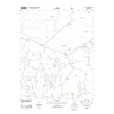
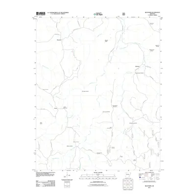
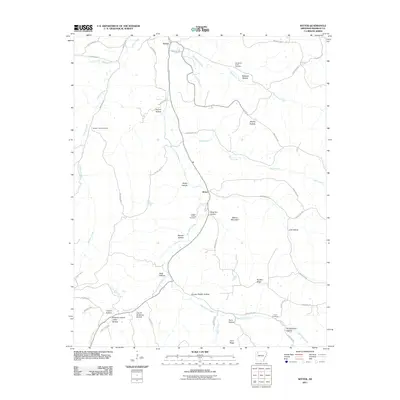
Historical Maps of Huntsville Through Time
60 maps found
1973 Boston
Madison County, AR
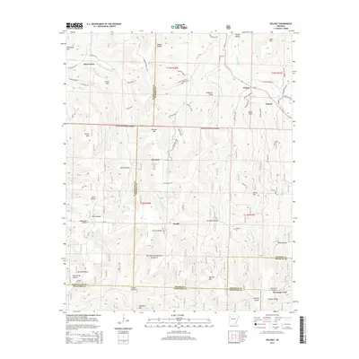
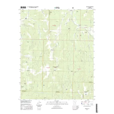
1973 Delaney
Madison County, AR
1973 Durham
Madison County, AR
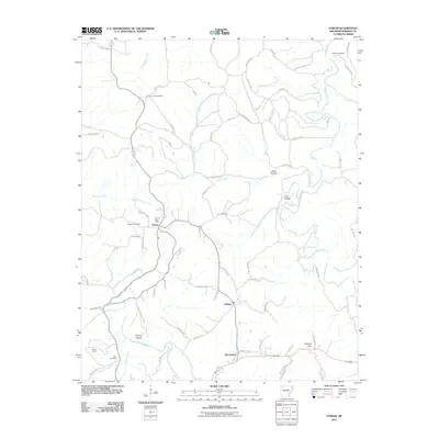
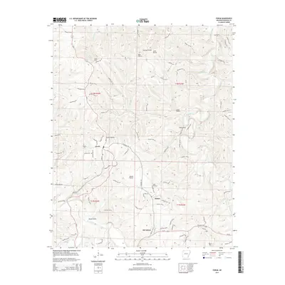
1973 Forum
Madison County, AR
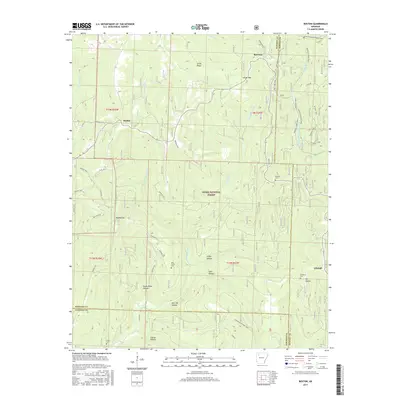
1973 Hartwell
Madison County, AR
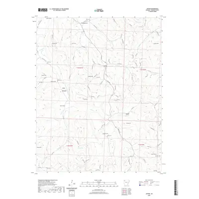
1973 Japton
Madison County, AR
1973 Pettigrew
Madison County, AR
1973 St Paul
Madison County, AR
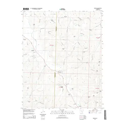
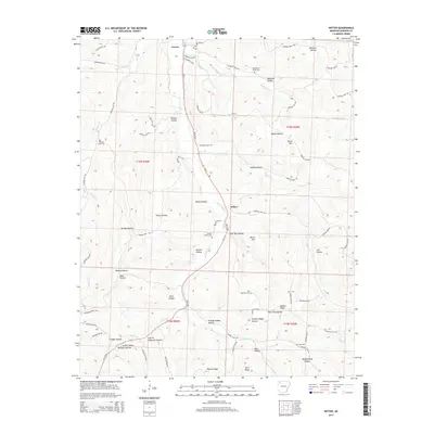
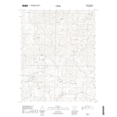
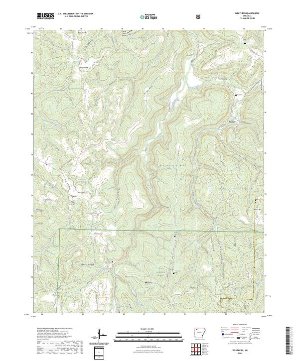
1973 Weathers
Madison County, AR
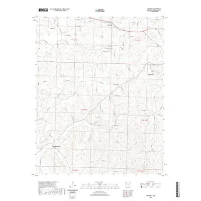
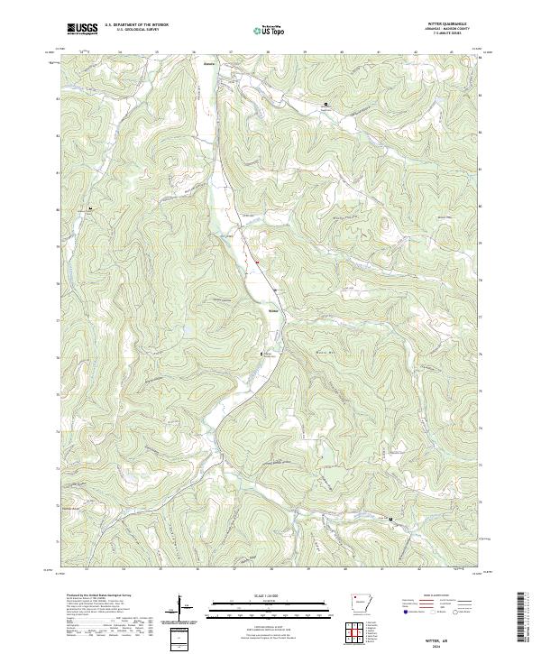
1973 Witter
Madison County, AR
2011 Boston
Madison County, AR
2011 Delaney
Madison County, AR
2011 Durham
Madison County, AR
2011 Forum
Madison County, AR
2011 Hartwell
Madison County, AR
2011 Japton
Madison County, AR
2011 Pettigrew
Madison County, AR
2011 Saint Paul
Madison County, AR
2011 Weathers
Madison County, AR
2011 Witter
Madison County, AR

2014 Boston
Madison County, AR
2014 Delaney
Madison County, AR
2014 Durham
Madison County, AR
2014 Forum
Madison County, AR
2014 Hartwell
Madison County, AR
2014 Japton
Madison County, AR
2014 Pettigrew
Madison County, AR
2014 Saint Paul
Madison County, AR
2014 Weathers
Madison County, AR
2014 Witter
Madison County, AR
2017 Boston
Madison County, AR
2017 Delaney
Madison County, AR
2017 Durham
Madison County, AR
2017 Forum
Madison County, AR
2017 Hartwell
Madison County, AR
2017 Japton
Madison County, AR
2017 Pettigrew
Madison County, AR
2017 Saint Paul
Madison County, AR
2017 Weathers
Madison County, AR
2017 Witter
Madison County, AR

2020 Boston
Madison County, AR
2020 Delaney
Madison County, AR
2020 Durham
Madison County, AR
2020 Forum
Madison County, AR
2020 Hartwell
Madison County, AR
2020 Japton
Madison County, AR
2020 Pettigrew
Madison County, AR
2020 Saint Paul
Madison County, AR
2020 Weathers
Madison County, AR
2020 Witter
Madison County, AR
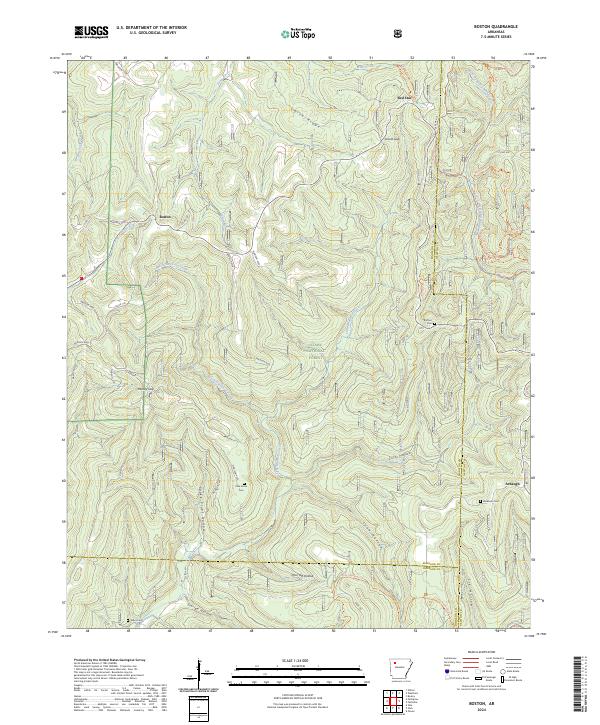
2024 Boston
Madison County, AR
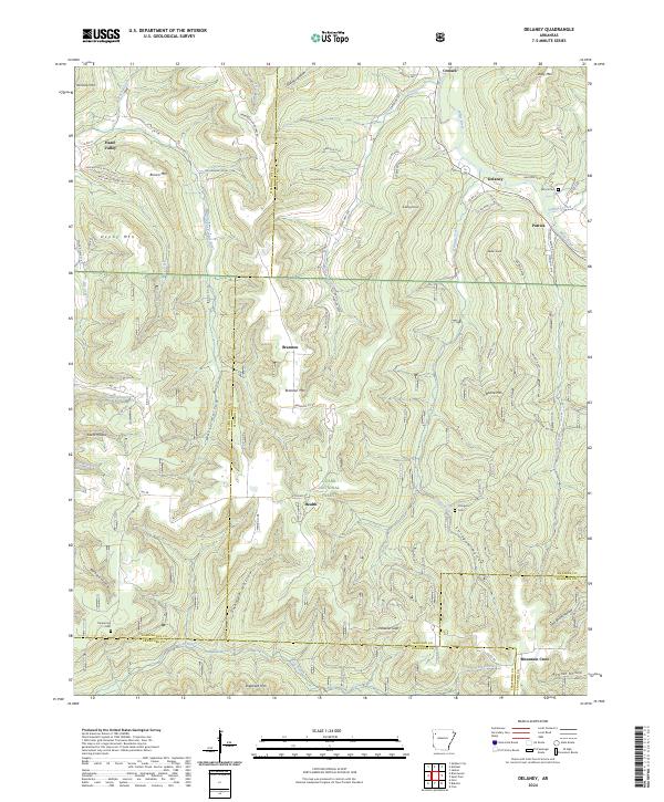
2024 Delaney
Madison County, AR
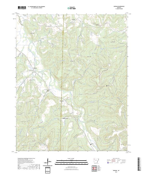
2024 Durham
Madison County, AR
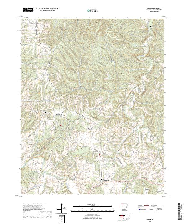
2024 Forum
Madison County, AR
2024 Hartwell
Madison County, AR
2024 Japton
Madison County, AR
2024 Pettigrew
Madison County, AR
2024 Saint Paul
Madison County, AR
2024 Weathers
Madison County, AR
2024 Witter
Madison County, AR