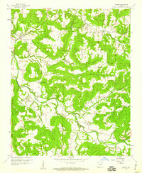
1958 Map of Goshen
USGS Topo · Published 1959About this map
Richland Creek meanders through the heart of this landscape, carving a valley between the prominent peaks of Benson Mountain and Trammel Mtn. The late 1950s settlement pattern is defined by small rural hubs and family landmarks, with the town of Goshen situated in the northwest and Wesley to the southeast. The area is dense with genealogical identifiers, including the Richland Tabernacle, Langley Ch, and numerous family burial grounds such as Boatright Cem and Johnson Cem.
Find a feature on this map
34 named features on this map. Tap any name to fly to it.
Don’t see what you’re looking for? This feature index may not catch every label — zoom into the map to look around manually.
Map Details
Editions of this 1958 Goshen Map
3 editions found
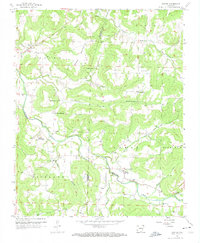
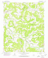
Other maps of this area

1898 · Winslow
USGS Topo · 1:125,000

1899 · Fayetteville
USGS Topo · 1:125,000

1900 · Eureka Springs
USGS Topo · 1:125,000

1901 · Winslow
USGS Topo · 1:125,000

1901 · Eureka Springs
USGS Topo · 1:125,000

1901 · Fayetteville
USGS Topo · 1:125,000

1904 · Fayetteville
USGS Topo · 1:125,000

1943 · St. Paul
USGS Topo · 1:62,500

1945 · Harrison
USGS Topo · 1:250,000

1946 · St. Paul
USGS Topo · 1:62,500