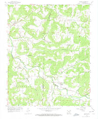
1958 Map of Goshen
USGS Topo · Published 1974About this map
Richland Creek and its many tributaries, including Cherry Creek, Sinking Creek, and Pigeon Creek, define the topography of this Ozark plateau region as it appeared in the late 1950s. The settlement of Goshen sits in the northwest, while the community of Wesley serves as a southern hub near the Washington Co and Madison Co line. The map is a vital resource for genealogists, recording numerous family burial grounds such as Boatright Cem, Culwell Cem, and Smith Cem.
Find a feature on this map
38 named features on this map. Tap any name to fly to it.
Don’t see what you’re looking for? This feature index may not catch every label — zoom into the map to look around manually.
Map Details
Editions of this 1958 Goshen Map
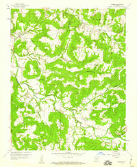
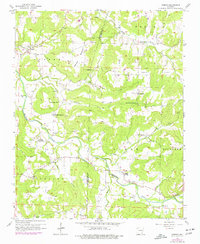
3 editions found
Other maps of this area

1898 · Winslow
USGS Topo · 1:125,000

1899 · Fayetteville
USGS Topo · 1:125,000

1900 · Eureka Springs
USGS Topo · 1:125,000

1901 · Winslow
USGS Topo · 1:125,000

1901 · Eureka Springs
USGS Topo · 1:125,000

1901 · Fayetteville
USGS Topo · 1:125,000

1904 · Fayetteville
USGS Topo · 1:125,000

1943 · St. Paul
USGS Topo · 1:62,500

1945 · Harrison
USGS Topo · 1:250,000

1946 · St. Paul
USGS Topo · 1:62,500