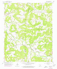
1958 Map of Goshen
USGS Topo · Published 1977About this map
Richland Creek and its many tributaries, including Sinking Creek and Cherry Creek, carve through the uplands of the Washington Co and Madison Co border. The settlement of Goshen sits near the confluence of Mill Creek, while the community of Wesley anchors the southern portion of the map. This landscape is characterized by its numerous small-scale religious and memorial sites, such as the Richland Tabernacle and Mountain Springs Ch, which served the rural population during the mid-20th century. High points like Benson Mountain are capped by the Benson Lookout Tower, indicating the importance of fire observation in this heavily wooded terrain. The map's detailed documentation of family cemeteries, including Boatright Cem and Culwell Cem, provides a significant record of the area's genealogical history and early pioneer settlement patterns before later developments.
Find a feature on this map
34 named features on this map. Tap any name to fly to it.
Don’t see what you’re looking for? This feature index may not catch every label — zoom into the map to look around manually.
Map Details
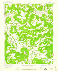
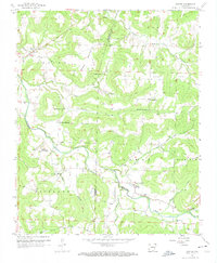
Editions of this 1958 Goshen Map
3 editions found
Other maps of this area

1898 · Winslow
USGS Topo · 1:125,000

1899 · Fayetteville
USGS Topo · 1:125,000

1900 · Eureka Springs
USGS Topo · 1:125,000

1901 · Winslow
USGS Topo · 1:125,000

1901 · Eureka Springs
USGS Topo · 1:125,000

1901 · Fayetteville
USGS Topo · 1:125,000

1904 · Fayetteville
USGS Topo · 1:125,000

1943 · St. Paul
USGS Topo · 1:62,500

1945 · Harrison
USGS Topo · 1:250,000

1946 · St. Paul
USGS Topo · 1:62,500