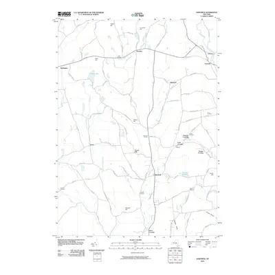
2010 Map of Hartwick
USGS Topo · Published 2010About this map
Otego Creek and its West Branch carve through this central Otsego County landscape, where small hamlets and family crossings define the rural layout. The village of Hartwick serves as a central hub, situated near the Hartwick Reservoir and several hilltop summits like Scotch Hill and Whalen Hill. The area is marked by numerous legacy burial grounds, including the Butterfield and Robinson cemeteries, providing significant data for genealogical research into the families who settled these valleys.
Find a feature on this map
90 named features on this map. Tap any name to fly to it.
Don’t see what you’re looking for? This feature index may not catch every label — zoom into the map to look around manually.
Map Details
Editions of this 2010 Hartwick Map
This is the sole edition of this map. No revisions or reprints were ever made.
Other maps of this area

1903 · Richfield Springs
USGS Topo · 1:62,500

1907 · Winfield
USGS Topo · 1:62,500

1907 · Cooperstown
USGS Topo · 1:62,500

1909 · Cooperstown
USGS Topo · 1:62,500

1910 · Hartwick
USGS Topo · 1:62,500

1912 · Hartwick
USGS Topo · 1:62,500

1943 · Schuyler Lake
USGS Topo · 1:24,000

1943 · Mt Vision
USGS Topo · 1:24,000

1943 · Milford
USGS Topo · 1:24,000

1943 · Richfield Springs
USGS Topo · 1:24,000