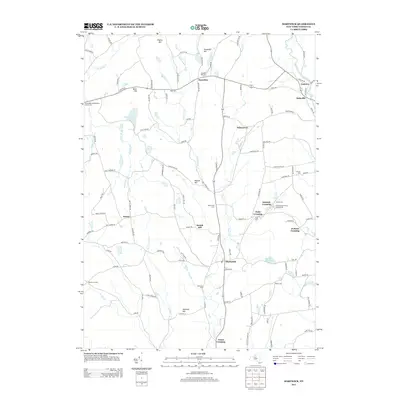
2013 Map of Hartwick
USGS Topo · Published 2013About this map
Hartwick serves as the central hub of this Otsego County landscape, where the waters of Otego Cr and its western branch shape the valley's orientation. The geography is defined by a series of named ridges and summits, including Scotch Hill, Whalen Hill, and Pigeon Hill, which separate the various drainage basins. For family historians, the area is notably dense with small burying grounds such as Snowden Hill Cem, Peck Cem, and the Old United Presbyterian Church Cem. Small hamlets like Oaksville, Cattown, and Wileytown are connected by a network of rural roads that follow the winding paths of Butternut Cr and Oaks Cr. The presence of the Hartwick Reservoir and Cranberry Bog illustrates the diverse wetland and water management features integrated into this rural New York community.
Find a feature on this map
115 named features on this map. Tap any name to fly to it.
Don’t see what you’re looking for? This feature index may not catch every label — zoom into the map to look around manually.
Map Details
Editions of this 2013 Hartwick Map
This is the sole edition of this map. No revisions or reprints were ever made.
Other maps of this area

1903 · Richfield Springs
USGS Topo · 1:62,500

1907 · Winfield
USGS Topo · 1:62,500

1907 · Cooperstown
USGS Topo · 1:62,500

1909 · Cooperstown
USGS Topo · 1:62,500

1910 · Hartwick
USGS Topo · 1:62,500

1912 · Hartwick
USGS Topo · 1:62,500

1943 · Schuyler Lake
USGS Topo · 1:24,000

1943 · Mt Vision
USGS Topo · 1:24,000

1943 · Milford
USGS Topo · 1:24,000

1943 · Richfield Springs
USGS Topo · 1:24,000