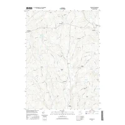
2016 Map of Hartwick
USGS Topo · Published 2016About this map
Hartwick and its surrounding hamlets are defined by the high, rolling terrain of Otsego County, where the headwaters of Otsego Cr and Oaks Creek carve through the landscape. This 2016 survey shows a rural environment deeply rooted in its local history, with numerous burial grounds such as Snowden Hill Cem and the Old United Presbyterian Church Cem near Burlington preserved among the hills. The map highlights traditional place names like Wileyton, Cattown, and Oaksville, reflecting a settlement pattern that persists even as modern road networks like Co RD 16 and Co RD 11 link these communities.
Find a feature on this map
109 named features on this map. Tap any name to fly to it.
Don’t see what you’re looking for? This feature index may not catch every label — zoom into the map to look around manually.
Map Details
Editions of this 2016 Hartwick Map
This is the sole edition of this map. No revisions or reprints were ever made.
Other maps of this area

1903 · Richfield Springs
USGS Topo · 1:62,500

1907 · Winfield
USGS Topo · 1:62,500

1907 · Cooperstown
USGS Topo · 1:62,500

1909 · Cooperstown
USGS Topo · 1:62,500

1910 · Hartwick
USGS Topo · 1:62,500

1912 · Hartwick
USGS Topo · 1:62,500

1943 · Schuyler Lake
USGS Topo · 1:24,000

1943 · Mt Vision
USGS Topo · 1:24,000

1943 · Milford
USGS Topo · 1:24,000

1943 · Richfield Springs
USGS Topo · 1:24,000