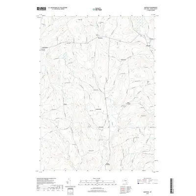
2019 Map of Hartwick
USGS Topo · Published 2019About this map
Hartwick and the surrounding rural uplands of Otsego County are defined by a network of creeks and small family settlements. The landscape is segmented by significant ridges, including Pigeon Hill and Scotch Hill, which separate the drainage of Butternut Creek from Oaks Creek. Local history is deeply etched into the terrain through numerous family and community burial grounds, such as Snowden Hill Cemetery and the Winsor Babbitt Cemetery. Small hamlets like Oaksville and Snowdon sit at historic crossroads, while more remote points like Field Crossing and Jones Crossing indicate the importance of early transit routes through the valley floors. Toward the northeast, the Old United Presbyterian Church serves as a notable landmark near Burlington, anchoring the religious history of this farming region.
Find a feature on this map
109 named features on this map. Tap any name to fly to it.
Don’t see what you’re looking for? This feature index may not catch every label — zoom into the map to look around manually.
Map Details
Editions of this 2019 Hartwick Map
This is the sole edition of this map. No revisions or reprints were ever made.
Other maps of this area

1903 · Richfield Springs
USGS Topo · 1:62,500

1907 · Winfield
USGS Topo · 1:62,500

1907 · Cooperstown
USGS Topo · 1:62,500

1909 · Cooperstown
USGS Topo · 1:62,500

1910 · Hartwick
USGS Topo · 1:62,500

1912 · Hartwick
USGS Topo · 1:62,500

1943 · Schuyler Lake
USGS Topo · 1:24,000

1943 · Mt Vision
USGS Topo · 1:24,000

1943 · Milford
USGS Topo · 1:24,000

1943 · Richfield Springs
USGS Topo · 1:24,000