
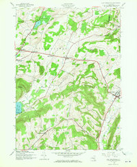
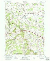
2023 Map of Hartwick
USGS Topo · Published 2023About this map
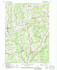
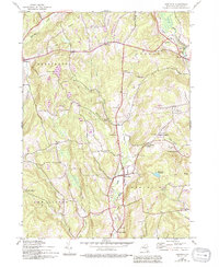
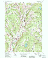
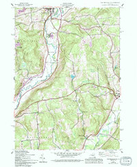
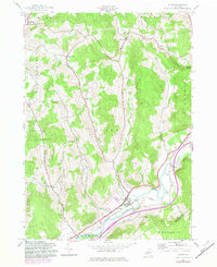
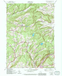
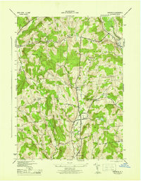
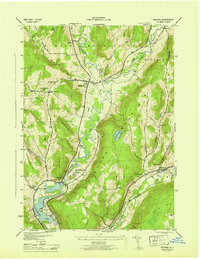
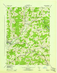
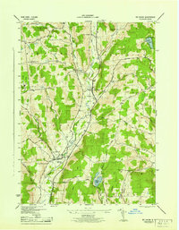
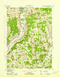
Hartwick serves as the central hub of this Otsego County landscape, where the headwaters of Otego Creek and Oaks Creek carve distinct valleys through the high ground. The area is characterized by numerous family-named peaks and ridges, including Pigeon Hill, Tunncliff Hill, and Whalen Hill, which dictate the winding paths of rural connectors like Wileytown Rd and Dana Clark Rd. Smaller clusters like Oaksville, Fly Creek, and the curiously named Cattown appear in the northeast, illustrating the historic settlement patterns of upstate New York.
Find a feature on this map
115 named features on this map. Tap any name to fly to it.
Don’t see what you’re looking for? This feature index may not catch every label — zoom into the map to look around manually.
Map Details
Editions of this 2023 Hartwick Map
This is the sole edition of this map. No revisions or reprints were ever made.
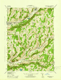
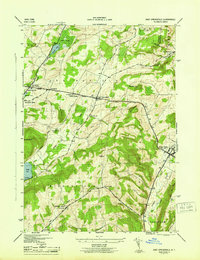
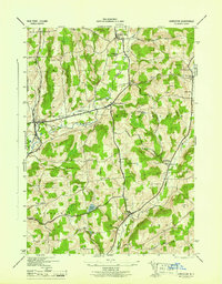
Historical Maps of Patent Through Time
37 maps found
1907 Winfield
Otsego County, NY

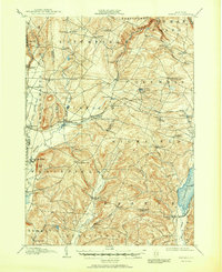
1910 Hartwick
Otsego County, NY
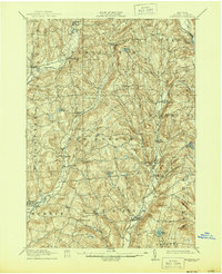
1912 Hartwick
Otsego County, NY
1943 Charlotteville
Otsego County, NY
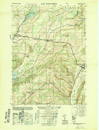
1943 East Springfield
Otsego County, NY
1943 Edmeston
Otsego County, NY
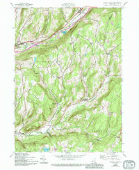
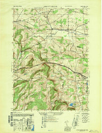
1943 Hartwick
Otsego County, NY
1943 Milford
Otsego County, NY
1943 Morris
Otsego County, NY
1943 Mt Vision
Otsego County, NY
1943 New Berlin South
Otsego County, NY
1943 Otego
Otsego County, NY
1943 South Valley
Otsego County, NY
1943 Sprout Brook
Otsego County, NY
1945 Charlotteville
Otsego County, NY
1945 East Springfield
Otsego County, NY
1945 Edmeston
Otsego County, NY
1945 Hartwick
Otsego County, NY
1945 Milford
Otsego County, NY
1945 Morris
Otsego County, NY
1945 Mt Vision
Otsego County, NY
1945 New Berlin South
Otsego County, NY
1945 Otego
Otsego County, NY
1945 South Valley
Otsego County, NY
1945 Sprout Brook
Otsego County, NY
1947 Sprout Brook
Otsego County, NY
1949 East Springfield
Otsego County, NY

2023 Charlotteville
Otsego County, NY

2023 East Springfield
Otsego County, NY

2023 Edmeston
Otsego County, NY
2023 Hartwick
Otsego County, NY

2023 Milford
Otsego County, NY

2023 Morris
Otsego County, NY
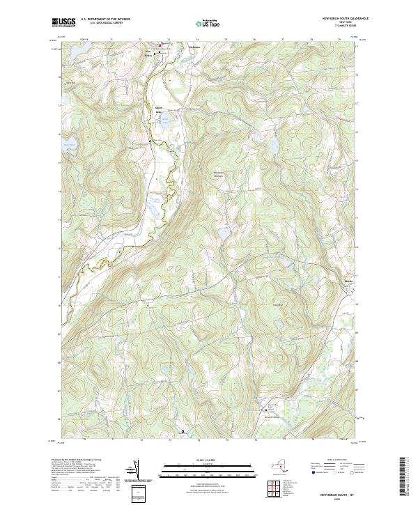
2023 New Berlin South
Otsego County, NY

2023 Otego
Otsego County, NY

2023 South Valley
Otsego County, NY

2023 Sprout Brook
Otsego County, NY