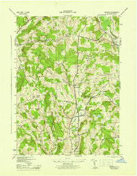
1945 Map of Hartwick
USGS Topo · Published 1945About this map
Otego Creek and Oaks Creek define the drainage of this interior Otsego County landscape during the mid-1940s. The settlement of Hartwick serves as a central hub, surrounded by a dense network of upland farms and rural institutions. The map reveals an intricate educational infrastructure from a bygone era of local school districts, featuring numerous numbered and named buildings such as School No 13, Sch No 4, and the Texas Sch.
Find a feature on this map
47 named features on this map. Tap any name to fly to it.
Don’t see what you’re looking for? This feature index may not catch every label — zoom into the map to look around manually.
Map Details
Editions of this 1945 Hartwick Map
This is the sole edition of this map. No revisions or reprints were ever made.
Other maps of this area
1903 · Richfield Springs
USGS Topo · 1:62,500
1907 · Winfield
USGS Topo · 1:62,500
1907 · Cooperstown
USGS Topo · 1:62,500
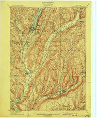
1909 · Cooperstown
USGS Topo · 1:62,500
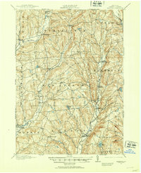
1910 · Hartwick
USGS Topo · 1:62,500
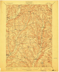
1912 · Hartwick
USGS Topo · 1:62,500
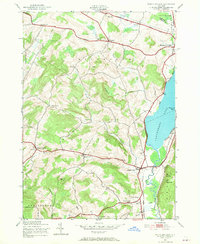
1943 · Schuyler Lake
USGS Topo · 1:24,000
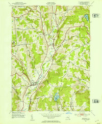
1943 · Mt Vision
USGS Topo · 1:24,000
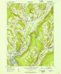
1943 · Milford
USGS Topo · 1:24,000
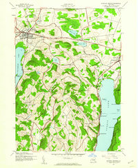
1943 · Richfield Springs
USGS Topo · 1:24,000