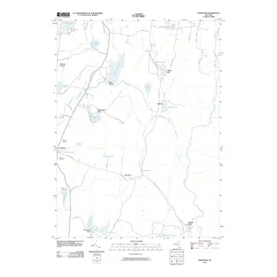
2010 Map of Hartwood
USGS Topo · Published 2010About this map
The Neversink River carves through the eastern portion of this Sullivan County landscape, passing landmarks like High Falls and Denton Falls as it flows toward Oakland Valley. This 2010 survey reflects a region defined by its numerous glacial lakes and private retreats, including the Hartwood Club and Merriewold Park, which center around Hemlock Lake and Merriewold Lake respectively. To the west, the settlement of Forestburg and the nearby Camp Forestburg sit among a dense network of water bodies like Burnt Hope Lake and Panther Pond. The transportation history of the area is visible in the Old R R Right-Of-Way Rd, indicating former rail connections that once serviced these mountain communities. Genealogists will find the Saint Thomas Cemetery and Forestburg Cemetery clearly marked near the western corridor.
Find a feature on this map
66 named features on this map. Tap any name to fly to it.
Don’t see what you’re looking for? This feature index may not catch every label — zoom into the map to look around manually.
Map Details
Editions of this 2010 Hartwood Map
This is the sole edition of this map. No revisions or reprints were ever made.
Other maps of this area

1906 · Port Jervis
USGS Topo · 1:62,500

1908 · Port Jervis
USGS Topo · 1:62,500

1909 · Monticello
USGS Topo · 1:62,500

1911 · Monticello
USGS Topo · 1:62,500

1913 · Milford
USGS Topo · 1:62,500

1915 · Milford
USGS Topo · 1:62,500

1922 · White Lake
USGS Topo · 1:62,500

1942 · White Lake
USGS Topo · 1:62,500

1942 · Port Jervis North
USGS Topo · 1:24,000
1942 · Otisville
USGS Topo · 1:24,000