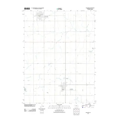
2011 Map of Harvard
USGS Topo · Published 2011About this map
Clay Center and Harvard anchor this section of the Nebraska plains, reflecting a settlement pattern defined by a precise grid of rural roads and the drainage of the Big Sandy watershed. The landscape is characterized by the meandering courses of School Creek and Little Sandy Creek, which break the geometric regularity of the section lines. Local infrastructure is concentrated in the two primary towns, each maintaining its own postal operations with the Harvard Post Office and Clay Center Post Office.
Find a feature on this map
27 named features on this map. Tap any name to fly to it.
Don’t see what you’re looking for? This feature index may not catch every label — zoom into the map to look around manually.
Map Details
Editions of this 2011 Harvard Map
This is the sole edition of this map. No revisions or reprints were ever made.
Other maps of this area

1898 · York
USGS Topo · 1:125,000

1898 · Superior
USGS Topo · 1:125,000

1898 · Hebron
USGS Topo · 1:125,000

1898 · Grand Island
USGS Topo · 1:125,000

1899 · York
USGS Topo · 1:125,000

1955 · Lincoln
USGS Topo · 1:250,000

1955 · Grand Island
USGS Topo · 1:250,000

1957 · Lincoln
USGS Topo · 1:250,000

1957 · Grand Island
USGS Topo · 1:250,000

1958 · Grand Island
USGS Topo · 1:250,000