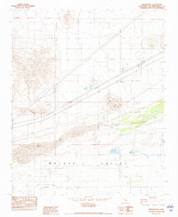
1982 Map of Harvard Hill
USGS Topo · Published 1982About this map
The Mojave Valley in San Bernardino County serves as the backdrop for this early 1980s topographic study, centered on the small settlement of Harvard. This desert corridor is defined by the heavy infrastructure of the Union Pacific railroad and multiple transmission lines, including a 3 Steel Tower Transmission Line that cuts diagonally across the arid landscape. The presence of several small water bodies, such as Lake Dolores and Lake Jodie, highlights the localized irrigation and recreation efforts in an otherwise dry environment.
Find a feature on this map
14 named features on this map. Tap any name to fly to it.
Don’t see what you’re looking for? This feature index may not catch every label — zoom into the map to look around manually.
Map Details
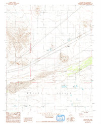
Editions of this 1982 Harvard Hill Map
2 editions found
Other maps of this area

1933 · Avawatz Mountains
USGS Topo · 1:250,000

1947 · Trona
USGS Topo · 1:250,000

1948 · Trona
USGS Topo · 1:250,000

1948 · Alvord Mountain
USGS Topo · 1:62,500

1948 · Lane Mountain
USGS Topo · 1:62,500

1951 · Alvord Mountain
USGS Topo · 1:62,500

1951 · Lane Mountain
USGS Topo · 1:62,500

1953 · San Bernardino
USGS Topo · 1:250,000

1953 · Yermo
USGS Topo · 1:24,000

1953 · Trona
USGS Topo · 1:250,000