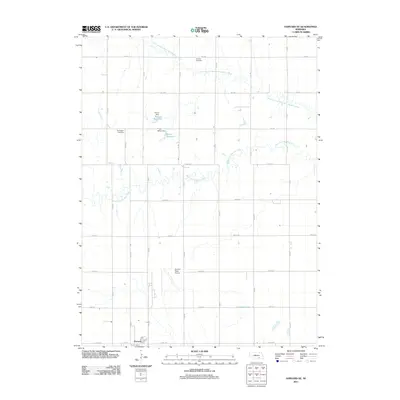
2011 Map of Harvard NE
USGS Topo · Published 2011About this map
The West Fork Big Blue River and its northern branch meander through this agricultural landscape in Clay County, defining the drainage patterns of the Nebraska plains. In the southern reaches, the northern edge of Harvard is visible, situated just below the Harvard State Airport. This facility and the surrounding section-line road network, including Road 320 and Road 31, reflect the organized development of the region's transportation and aviation infrastructure. Local history is anchored by the Franklin Cemetery and Norwegian Cemetery, which serve as permanent markers of the area's early settlement. Small-scale water management is evident through features like Kreutz Reservoir and Mihm Reservoir, created by their respective namesake dams, Kreutz Dam and Mihm Dam. These landmarks illustrate the local reliance on managed water resources for agriculture and irrigation in the early 21st century.
Find a feature on this map
34 named features on this map. Tap any name to fly to it.
Don’t see what you’re looking for? This feature index may not catch every label — zoom into the map to look around manually.
Map Details
Editions of this 2011 Harvard NE Map
This is the sole edition of this map. No revisions or reprints were ever made.
Other maps of this area

1898 · York
USGS Topo · 1:125,000

1898 · Grand Island
USGS Topo · 1:125,000

1899 · York
USGS Topo · 1:125,000

1955 · Lincoln
USGS Topo · 1:250,000

1955 · Grand Island
USGS Topo · 1:250,000

1957 · Lincoln
USGS Topo · 1:250,000

1957 · Grand Island
USGS Topo · 1:250,000

1958 · Grand Island
USGS Topo · 1:250,000

1958 · Lincoln
USGS Topo · 1:250,000
1967 · Giltner
USGS Topo · 1:24,000