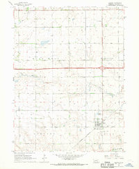
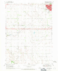
1967 Map of Giltner
USGS Topo · Published 1969About this map
Giltner sits at the southern edge of this late 1960s agricultural survey, anchored by the Chicago Burlington And Quincy railroad line. The landscape is defined by a dense grid of township boundaries including Phillips I L L I S, D E E P W E L L, and M O N R O E, where dozens of irrigation wells mark the shift toward intensive prairie farming. The central portion of the quadrangle is bisected by the modern 80 interstate corridor, which cuts across a terrain otherwise shaped by the meandering paths of Lincoln Creek and Beaver Creek. Local history is preserved in small rural burial grounds like St Josephs Cem and Lerton Cem, providing essential coordinates for genealogical research in this part of Hamilton county.
Find a feature on this map
19 named features on this map. Tap any name to fly to it.
Don’t see what you’re looking for? This feature index may not catch every label — zoom into the map to look around manually.
Map Details
Editions of this 1967 Giltner Map
This is the sole edition of this map. No revisions or reprints were ever made.
Other maps of this area

1892 · Grand Island
USGS Topo · 1:62,500

1895 · Grand Island
USGS Topo · 1:62,500

1898 · Grand Island
USGS Topo · 1:125,000

1955 · Grand Island
USGS Topo · 1:250,000

1957 · Grand Island
USGS Topo · 1:250,000

1958 · Grand Island
USGS Topo · 1:250,000
1962 · Phillips
USGS Topo · 1:24,000
1962 · Doniphan
USGS Topo · 1:24,000
1962 · Grand Island
USGS Topo · 1:24,000
1968 · Aurora West
USGS Topo · 1:24,000