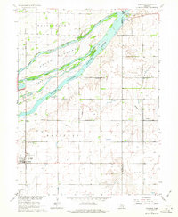
1962 Map of Doniphan
USGS Topo · Published 1964About this map
The braided waters of the Platte River dominate this Central Nebraska landscape, dividing into the Middle Channel Platte River and South Channel Platte River. These shifting currents define large landmasses like Mormon Island and Indian Island, which hosted mid-century recreational sites including Camp Augustine and Camp Cosmopolitan. The village of Doniphan serves as the primary settlement, anchored by the Union Pacific railroad and featuring a concentrated grid of streets, a sewage disposal site, and the nearby Cedarview Cem.
Find a feature on this map
24 named features on this map. Tap any name to fly to it.
Don’t see what you’re looking for? This feature index may not catch every label — zoom into the map to look around manually.
Map Details
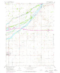
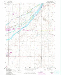
Editions of this 1962 Doniphan Map
3 editions found
Other maps of this area

1892 · Grand Island
USGS Topo · 1:62,500

1895 · Grand Island
USGS Topo · 1:62,500

1898 · Grand Island
USGS Topo · 1:125,000

1955 · Grand Island
USGS Topo · 1:250,000

1957 · Grand Island
USGS Topo · 1:250,000

1958 · Grand Island
USGS Topo · 1:250,000
1962 · Abbott
USGS Topo · 1:24,000
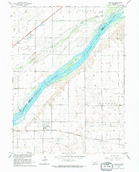
1962 · Phillips
USGS Topo · 1:24,000
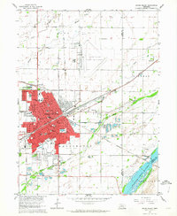
1962 · Grand Island
USGS Topo · 1:24,000
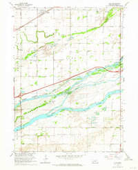
1962 · Alda
USGS Topo · 1:24,000