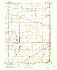
1962 Map of Abbott
USGS Topo · Published 1964About this map
The Corn Husker Ordnance Plant dominates the western landscape of this Nebraska survey, its vast reservation boundary housing an extensive network of the U S Government Railroad. This industrial and military footprint sits in stark contrast to the surrounding agricultural prairie, where the meandering course of Prairie Creek and Silver Creek defines the local drainage. To the east, the burgeoning outskirts of Grand Island are visible, featuring the Westlawn Memorial Cem and a Drive-in Theater along the Union Pacific rail lines.
Find a feature on this map
24 named features on this map. Tap any name to fly to it.
Don’t see what you’re looking for? This feature index may not catch every label — zoom into the map to look around manually.
Map Details
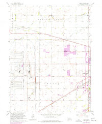
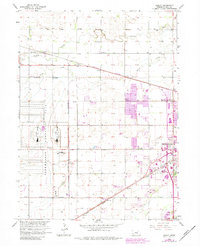
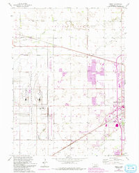
Editions of this 1962 Abbott Map
4 editions found
Other maps of this area

1892 · Grand Island
USGS Topo · 1:62,500

1895 · Grand Island
USGS Topo · 1:62,500

1895 · Wood River
USGS Topo · 1:62,500

1896 · Wood River
USGS Topo · 1:125,000

1898 · Grand Island
USGS Topo · 1:125,000

1899 · Loup
USGS Topo · 1:125,000

1899 · St. Paul
USGS Topo · 1:125,000

1953 · Dannebrog
USGS Topo · 1:24,000

1955 · Broken Bow
USGS Topo · 1:250,000

1955 · Grand Island
USGS Topo · 1:250,000