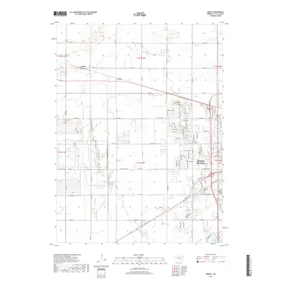
1962 Map of Abbott
USGS Topo · Published 1977About this map
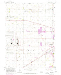
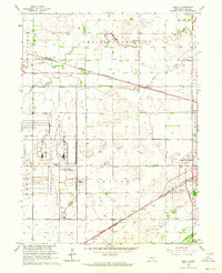
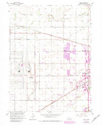
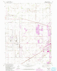
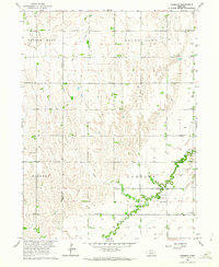
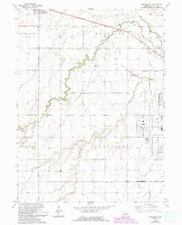
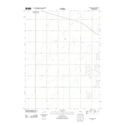
The sprawling Corn Husker Ordnance Plant dominates the western landscape of this Nebraska survey, its internal grid and dedicated U S Government Railroad spur reflecting the industrial scale of mid-century military infrastructure. Eastward, the rising residential and commercial footprint of Grand Island begins to push toward its modern limits, indicated by purple revisions that show urban expansion reaching toward the Soldiers and Sailors Cem. The rural sections of Mayfield and Harrison townships are defined by a network of one-room schools, such as School No 54 and Engleman Sch, alongside small rail stops like Abbott and Ovina. Waterways like Prairie Creek and Silver Creek meander across the plains, following natural paths that contrast with the rigid lines of the Burlington Northern and Union Pacific tracks.
Find a feature on this map
27 named features on this map. Tap any name to fly to it.
Don’t see what you’re looking for? This feature index may not catch every label — zoom into the map to look around manually.
Map Details
Editions of this 1962 Abbott Map
4 editions found
Historical Maps of Grand Island Through Time
15 maps found
1962 Abbott
Hall County, NE
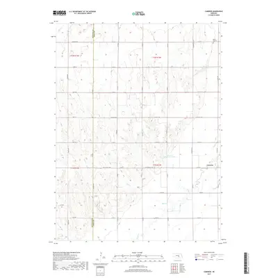
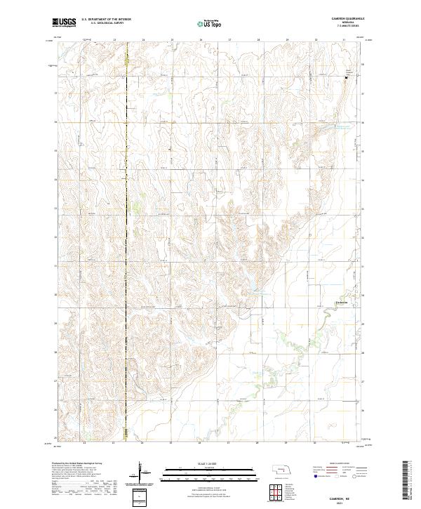
1962 Cameron
Hall County, NE
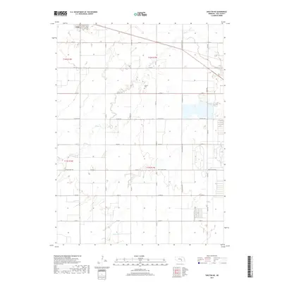
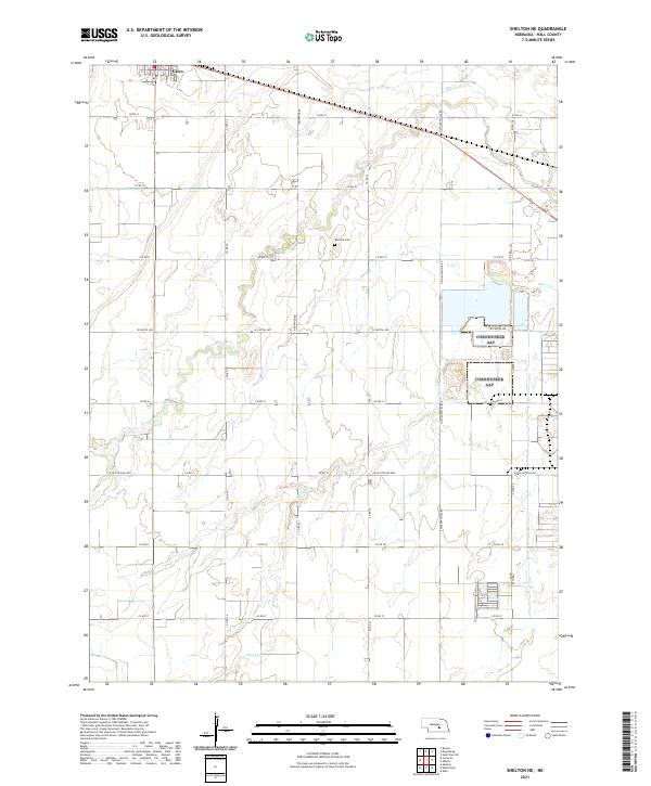
1962 Shelton NE
Hall County, NE
2011 Abbott
Hall County, NE
2011 Cameron
Hall County, NE
2011 Shelton NE
Hall County, NE
2014 Abbott
Hall County, NE
2014 Cameron
Hall County, NE
2014 Shelton NE
Hall County, NE
2017 Abbott
Hall County, NE
2017 Cameron
Hall County, NE
2017 Shelton NE
Hall County, NE
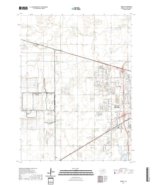
2021 Abbott
Hall County, NE
2021 Cameron
Hall County, NE
2021 Shelton NE
Hall County, NE