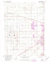
1962 Map of Abbott
USGS Topo · Published 1984About this map
The Corn Husker Ordnance Plant dominates the western half of this Nebraska landscape, its vast reservation boundary and industrial grid reflecting the mid-century military infrastructure of Hall County. To the east, the urban expansion of Grand Island pushes toward the agricultural frontier, with a purple-tinted revision layer showing growth through the early 1980s. This transition from intensive munitions manufacturing to suburban development is bisected by the Burlington Northern and Union Pacific railroads, which parallel the historical flow of Prairie Creek and Silver Creek. Rural life is anchored by small community centers like Abbott and Ovina, along with local landmarks such as Engleman Sch and the Soldiers and Sailors Cem. The map reveals a highly structured prairie landscape, where irrigation ditches and section lines frame a legacy of both defense industry and deep-rooted homesteads.
Find a feature on this map
19 named features on this map. Tap any name to fly to it.
Don’t see what you’re looking for? This feature index may not catch every label — zoom into the map to look around manually.
Map Details
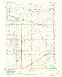
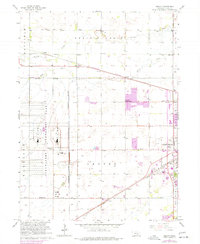
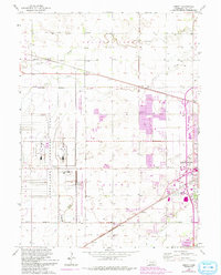
Editions of this 1962 Abbott Map
4 editions found
Other maps of this area

1892 · Grand Island
USGS Topo · 1:62,500

1895 · Grand Island
USGS Topo · 1:62,500

1895 · Wood River
USGS Topo · 1:62,500

1896 · Wood River
USGS Topo · 1:125,000

1898 · Grand Island
USGS Topo · 1:125,000

1899 · Loup
USGS Topo · 1:125,000

1899 · St. Paul
USGS Topo · 1:125,000

1953 · Dannebrog
USGS Topo · 1:24,000

1955 · Broken Bow
USGS Topo · 1:250,000

1955 · Grand Island
USGS Topo · 1:250,000