Loading...
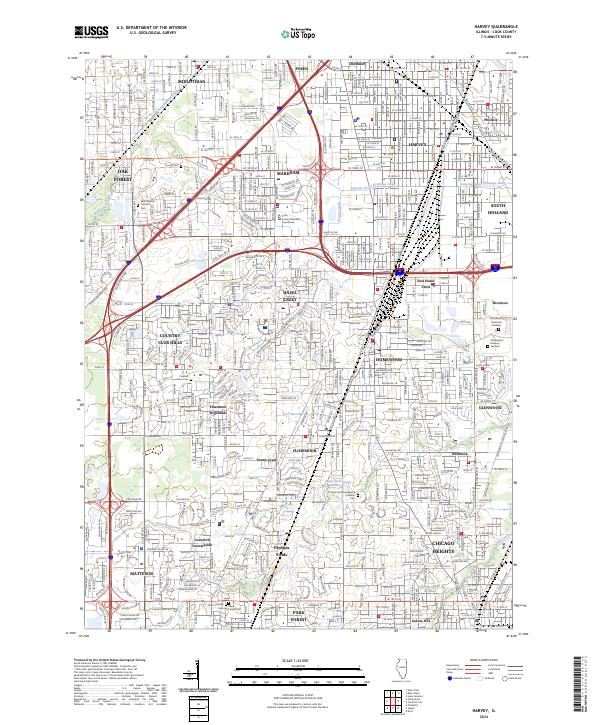
Loading map...2024 Map of Harvey
USGS Topo · Published 2024About this map
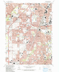
Harvey and its surrounding suburbs in Cook County reflect a dense network of residential development and infrastructure in the modern era. The landscape is defined by its drainage and water systems, including the Calumet Union Drainage Canal and the meandering path of Thorn Creek. In the southern portion of the quadrangle, educational and civic institutions like Prairie State College and the Cook County Markham Courthouse serve as major community hubs.
Find a feature on this map
47 named features on this map. Tap any name to fly to it.
Don’t see what you’re looking for? This feature index may not catch every label — zoom into the map to look around manually.
Map Details
Date Portrayed2024
Date Published2024
PublisherU.S. Geological Survey
Map TypeTopographic
Scale1:24000
Physical Dimensions24 x 29 inches
Editions of this 2024 Harvey Map
This is the sole edition of this map. No revisions or reprints were ever made.
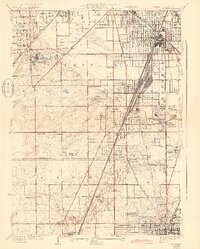
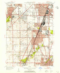
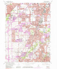
Historical Maps of Ballantrae Through Time
6 maps found
Featured Locations
- Park Forest, IL
- Chicago Heights, Bloom Township
- Oak Forest, Bremen Township
- Dolton, Thornton Township
- South Holland, Thornton Township
Source Details
SourceU.S. Geological Survey
CopyrightPublic Domain