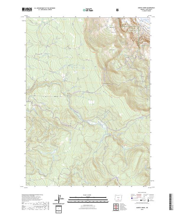
2023 Map of Harvey Creek
USGS Topo · Published 2023About this map
Winter Rim and Winter Ridge dominate this high-elevation landscape in Lake County, defining the western edge of the Great Basin where the terrain drops sharply toward the Summer Lake basin. This 2023 survey documents a remote section of the Fremont National Forest, where the complex drainage systems of the South Fork Sycan River and the Sycan Wild and Scenic River carve through the timbered uplands. The area is marked by a network of seasonal trails and forest routes, including the Southern Oregon Intertie Trl and the Hadley Snowmobile Trl, which navigate the passage between peaks like Slide Mtn and Taylor Buttes. Land use here centers on recreation and forest management, illustrated by the presence of Kates Dairy and the high-altitude Government Harvey Pass. Numerous springs such as Hogwallow Spring and Boulder Spring feed the creeks that eventually flow into the Sycan system.
Find a feature on this map
69 named features on this map. Tap any name to fly to it.
Don’t see what you’re looking for? This feature index may not catch every label — zoom into the map to look around manually.
Map Details
Editions of this 2023 Harvey Creek Map
This is the sole edition of this map. No revisions or reprints were ever made.
Other maps of this area

1955 · Klamath Falls
USGS Topo · 1:250,000

1958 · Klamath Falls
USGS Topo · 1:250,000

1966 · Shake Butte
USGS Topo · 1:24,000

1966 · Slide Mtn
USGS Topo · 1:24,000

1966 · Sandhill Crossing
USGS Topo · 1:24,000

1966 · Harvey Creek
USGS Topo · 1:24,000

1966 · Fremont Point
USGS Topo · 1:24,000

1966 · Coffeepot Creek
USGS Topo · 1:24,000

1966 · Pole Butte
USGS Topo · 1:24,000

1966 · Lee Thomas Crossing
USGS Topo · 1:24,000