
1956 Map of Harvey Mtn
USGS Topo · Published 1958About this map
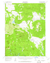
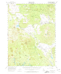
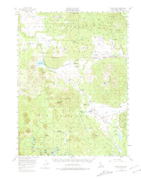
Blacks Mountain Experimental Forest dominates the northern landscape of this Lassen County survey, illustrating the mid-century intersection of federal resource management and recreation. The terrain is marked by volcanic features like Black Butte and Caribou Peak, with the southwestern corner extending into Lassen Volcanic National Park. Evidence of early administrative and seasonal habitation is scattered throughout the timberlands, including Longs Cabin, Burgess Cabin, and the Bogard Ranger Sta.
Find a feature on this map
95 named features on this map. Tap any name to fly to it.
Don’t see what you’re looking for? This feature index may not catch every label — zoom into the map to look around manually.
Map Details
Editions of this 1956 Harvey Mtn Map
4 editions found
Other maps of this area

1886 · Honey Lake
USGS Topo · 1:250,000

1886 · Lassen Peak
USGS Topo · 1:250,000

1891 · Honey Lake
USGS Topo · 1:250,000

1892 · Lassen Peak
USGS Topo · 1:250,000

1893 · Honey Lake
USGS Topo · 1:250,000

1894 · Lassen Peak
USGS Topo · 1:250,000

1939 · Halls Flat
USGS Topo · 1:125,000

1955 · Westwood
USGS Topo · 1:62,500

1955 · Westwood
USGS Topo · 1:250,000

1956 · Hayden Hill
USGS Topo · 1:62,500